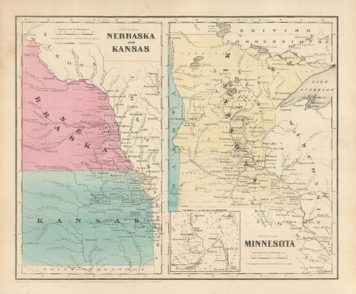
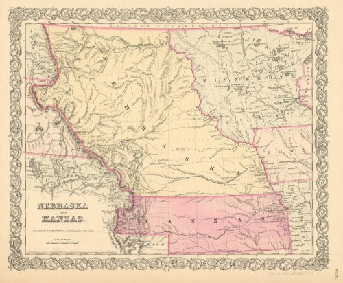
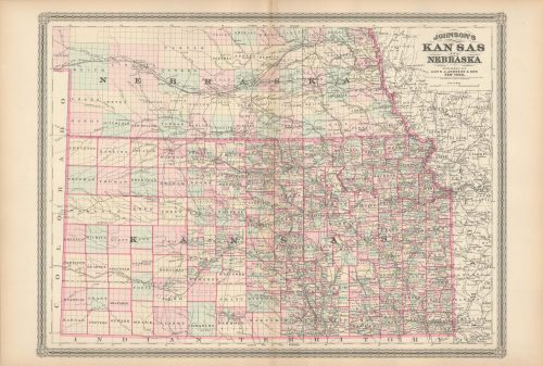
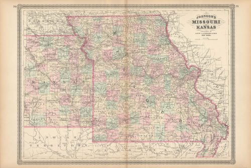
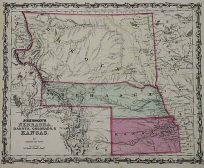
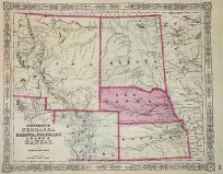
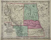
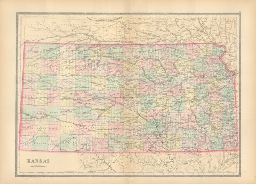
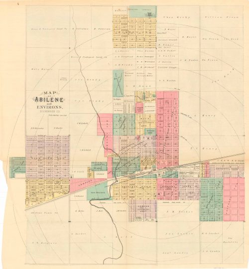
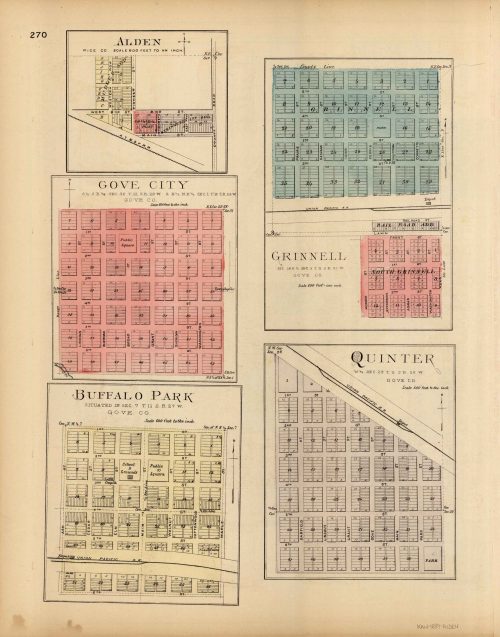
Vintage Antique Kansas
Art Source International has amassed a collection of authentic antique maps and images brilliantly highlighting and detailing the state of Kansas, which borders Colorado, Nebraska, Missouri, and Oklahoma. In 1854 President Franklin Pierce signed into law the Kansas-Nebraska Act, which created the two territories and helped facilitate the construction of a transcontinental railroad. After the act passed, abolitionists and pro-slavery settlers fought over whether the state would be a free state or slave state, resulting in numerous battles between the sides, the events being nicknamed Bleeding Kansas, and ultimately the abolitionists gaining victory making it a free state. Nearly 75 miles of the state’s northeastern boundary is defined by the Missouri River. Points of interest for the state are its many historic sites and trails such as the Lewis and Clark National Historic Trail and the Brown v. Board of Education National Historic Site. Art Source International reproductions and vintage maps can be ordered framed or without a frame.