Palestine
In stock
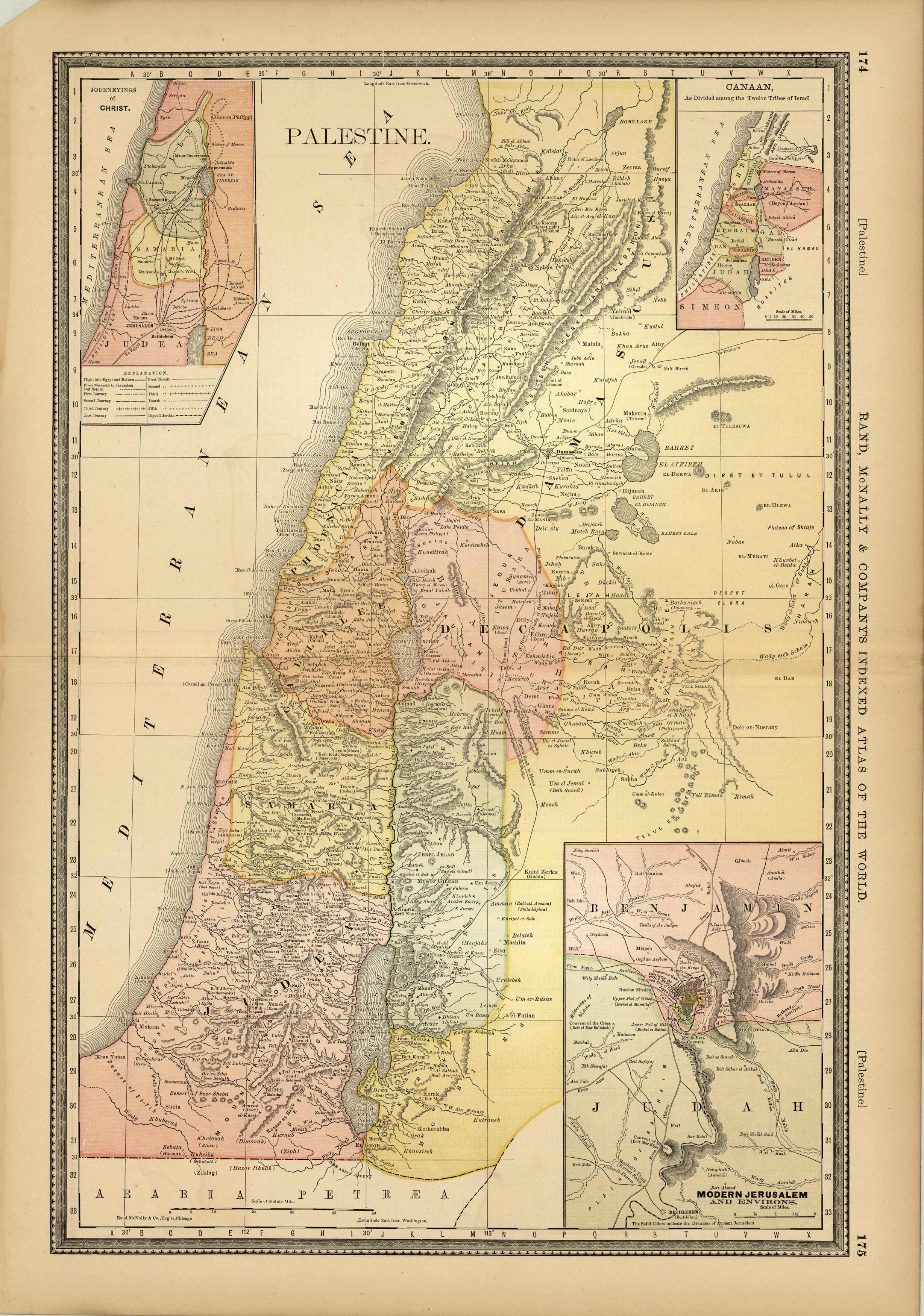
This fourth edition of Rand McNally and Co.s “Indexed Atlas of the World” was produced in 1882. Each very detailed map has light pastel coloring and identifies regions, important cities and land-forms. Palestine, or the Holy Land, is illustrated on this large scale map. Insets show modern Jerusalem, Canaan, and the routes of Christ’s travels.
Size: 13 x 19.25 inches
Condition: Very Good - age toning
Map Maker: Rand McNally & Co.
Coloring: Printed Color
Year: 1882
Condition: Very Good - age toning
Map Maker: Rand McNally & Co.
Coloring: Printed Color
Year: 1882
In stock


