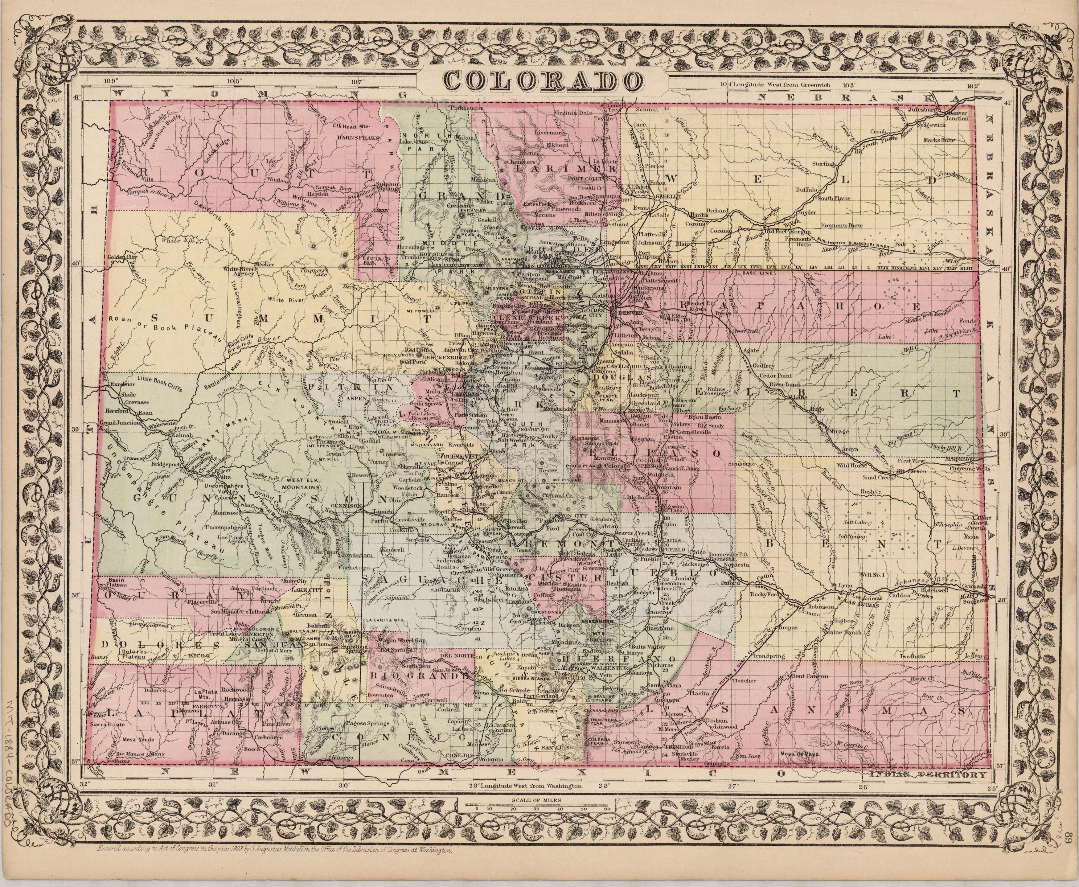
Colorado
In stock
This is a classic map of the newly formed state with both a strong aesthetic and historical appeal. Muted hand color distinguishes each county, while the state border is outlined for definition, all surrounded by the decorative grape vine border. Historically we see a glimpse of the early development for the mining districts in the southwest mountains, expanding right next to the very large “Confederate Ute Indian Reservation”. Also we see great detail supplied for the plains as well as the mountain towns that were on the make. Several rail lines are clearly noted. Basic topography and hydrography are portrayed. A beautiful map in very nice condition
Size: 14 x 11 inches
Condition: Very Good
Map Maker: S. Augustus Mitchell
Coloring: Original Hand Coloring
Year: 1884
Condition: Very Good
Map Maker: S. Augustus Mitchell
Coloring: Original Hand Coloring
Year: 1884
In stock


