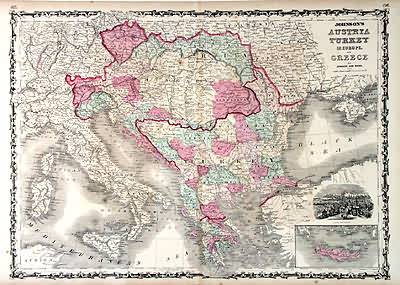
Johnsons Austria, Turkey in Europe, and Greece
In stock
This antique map came from Johnson’s New Illustrated (Steel Plate) Family Atlas, published in 1863, by Johnson and Ward. These maps are some of the most colorful and accurate maps produced in the 1860’s. Johnson maps are characterized by hand coloring in red and green and distinctive borders, including iron scrollwork and a Celtic design. This double page country map of Austria, Turkey and Greece includes a depiction of Constantinople, with an inset of Candia.
Size: 24 x 17.25 inches
Condition: Very Good-age toning, very minor staining
Map Maker: Johnson and Ward
Coloring: Original Hand Coloring
Year: 1863
Condition: Very Good-age toning, very minor staining
Map Maker: Johnson and Ward
Coloring: Original Hand Coloring
Year: 1863
In stock


