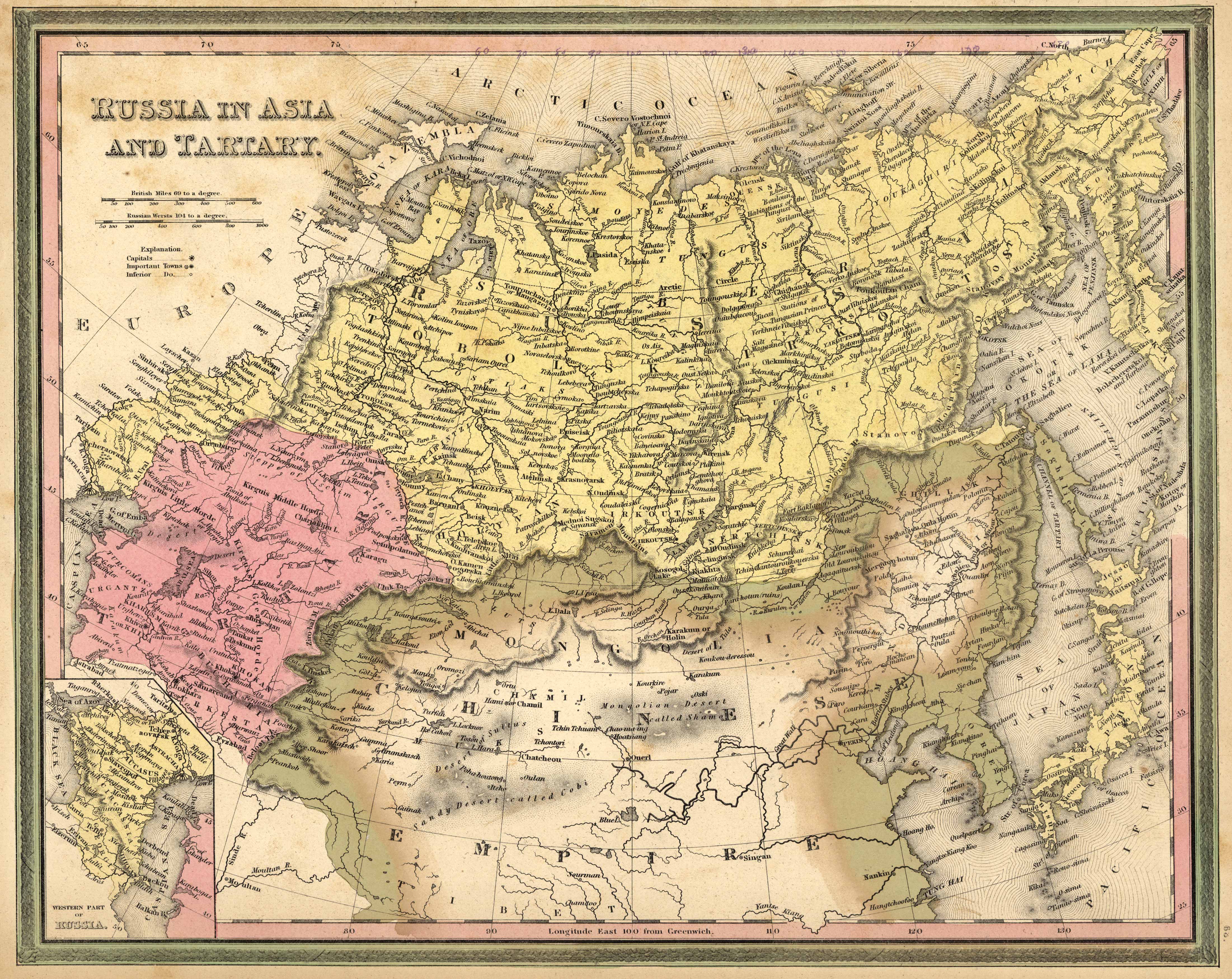
Mitchell’s 1846 Map of Russia in Asia and Tartary
In stock
This elaborate and stunning 1846 map of Russia in Asia and Tartary by Henry Schenck Tanner was first featured in his “New Universal Atlas.” Rivers, lakes, roads, canals, mountains ranges, state capitals, railroads, and important towns among other locations are all diligently named. Steam boat routes are also captured. Additional historical and geographical notes from Tanner are included. In the inset, the map shows the western part of Russia. An insightful glimpse of the area in 1846!
Size: 15 x 12 inches
Condition: Good - age toning throughout
Map Maker: S. Augustus Mitchell
Coloring: Original Hand Color
Year: 1846
Condition: Good - age toning throughout
Map Maker: S. Augustus Mitchell
Coloring: Original Hand Color
Year: 1846
In stock


