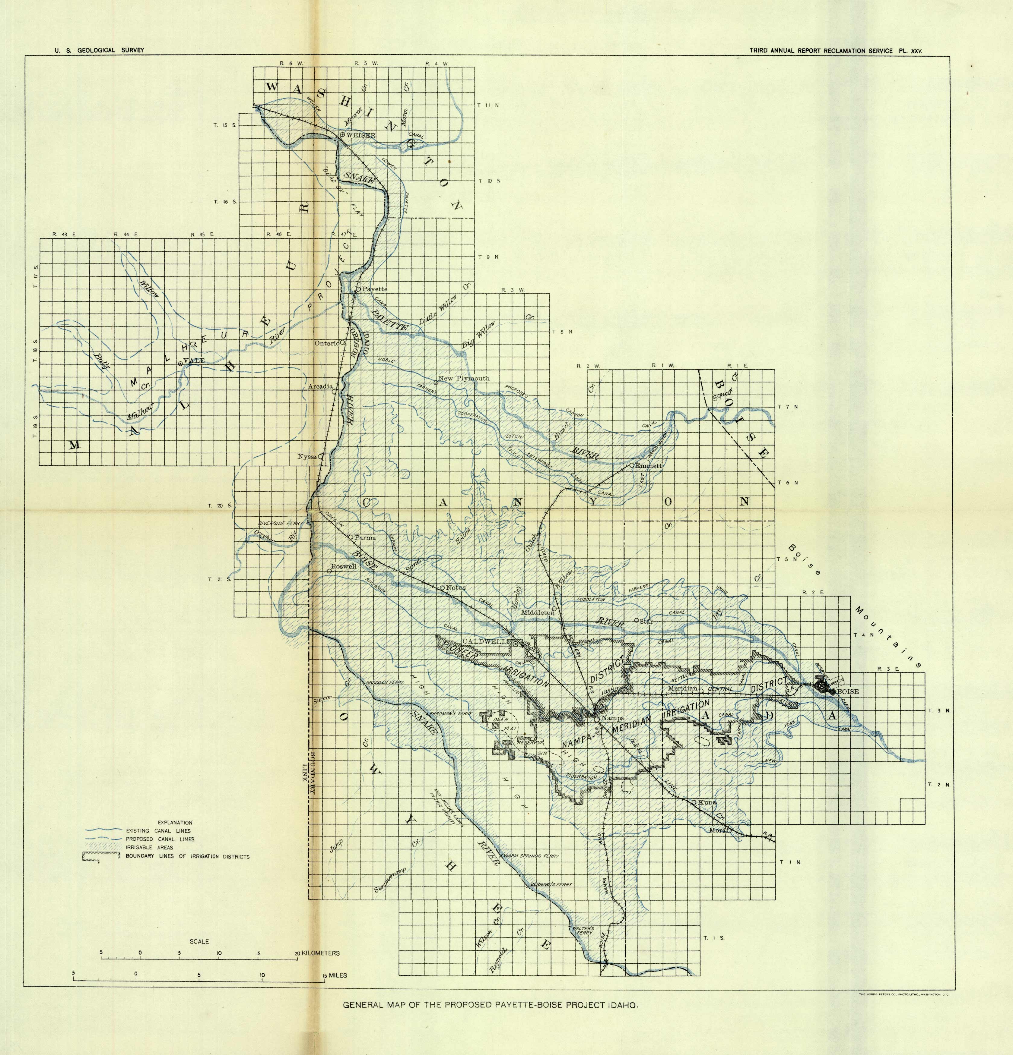
General Map of the Proposed Payette-Boise Project, Idaho
Out of stock
This map from the United States Geological Survey shows the proposed Payette-Boise Project in Idaho. Indicated on the map are existing canal lines, proposed canal lines, irrigable areas, and boundary lines of irrigation districts.
Size: 15 x 15.5 inches
Condition: Very Good - uneven age toning, some paper separation along folds
Map Maker: U.S. Geological Survey
Coloring: Printed Color
Year: circa 1900
Condition: Very Good - uneven age toning, some paper separation along folds
Map Maker: U.S. Geological Survey
Coloring: Printed Color
Year: circa 1900
Out of stock


