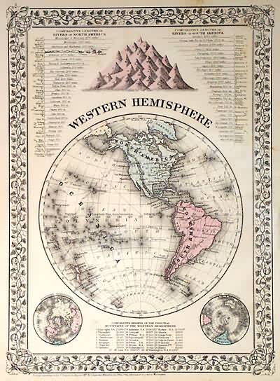
Western Hemisphere
Out of stock
This map came from Mitchells New General Atlas, 1881. Map also details length of rivers in North and South America; as well as the heights of mountains. Includes distinctive ivy border, and two smaller polar maps. Note: main map shows most of Antarctica as unexplored.
Size: 10 x 14 inches
Condition: Good, minor staining in margin
Map Maker: S. Augustus Mitchell
Coloring: Original Hand Color
Year: 1881
Condition: Good, minor staining in margin
Map Maker: S. Augustus Mitchell
Coloring: Original Hand Color
Year: 1881
Out of stock


