|
||
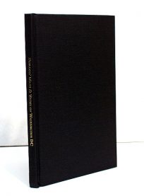
Mapping the Transmississippi West 1540-1861 – Volume Three – The Mexican War to the Boundary Survey 1864-1854
Out of stock
This is an original 1959 copy of Volume 3 of a collection of works. Printed by Taylor and Taylor for The Institute of Historical Cartography, this volume covers the period from the Mexican War to the Boundary Survey, 1846-1854. One of 1,000 copies that were printed, designed by Edwin and Robert Grabhorn. Researched and written by one of California’s leading scholars, Carl I. Wheat, he traced the opening of the American West by studying the succession of maps which, beginning in the 1540’s, accurately trace the paths of the explorers and the record of the resulting growth of knowledge. Mr. Wheat has sought out every map, manuscript or printed, relating to the Transmississippi West before 1861, and has selected the most interesting and important. Single volumes are eagerly sought after because each covers a specific cartographic period. Bound tightly and in excellent condition, this would make a great addition to any Western discovery collection. There is a short, handwritten inscription on the inside cover written by someone in 1963.
Year: 1959
Out of stock