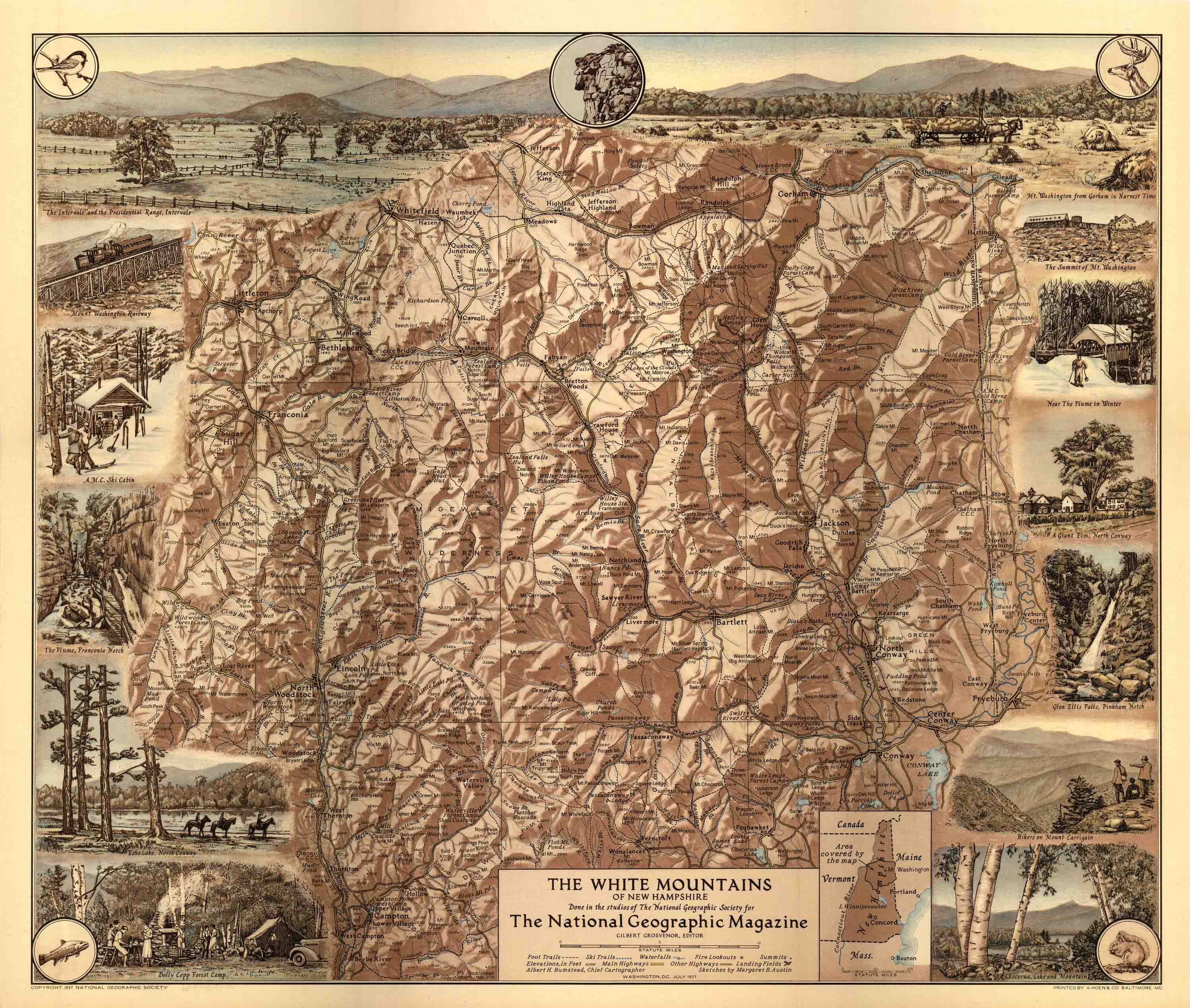
Map of the White Mountains of New Hampshire
Out of stock
This stunning 1937 National Geographic Society map depicts the White Mountains of New Hampshire. It labels foot trails, ski trails, waterfalls, fire lookouts, summits, aviation landing fields, and highways. It also illustrates the numerous outdoor activities that tourists explore, including seeing Glen Ellis Falls and hiking Mount Carrigain. Along the borders, the map illustrates common wild life seen in the region. A great glimpse into the area during 1937!
Size: 20 x 17 inches
Condition: Very Good - some age toning
Map Maker: National Geographic Society
Coloring: Printed Color
Year: 1937
Condition: Very Good - some age toning
Map Maker: National Geographic Society
Coloring: Printed Color
Year: 1937
Out of stock


