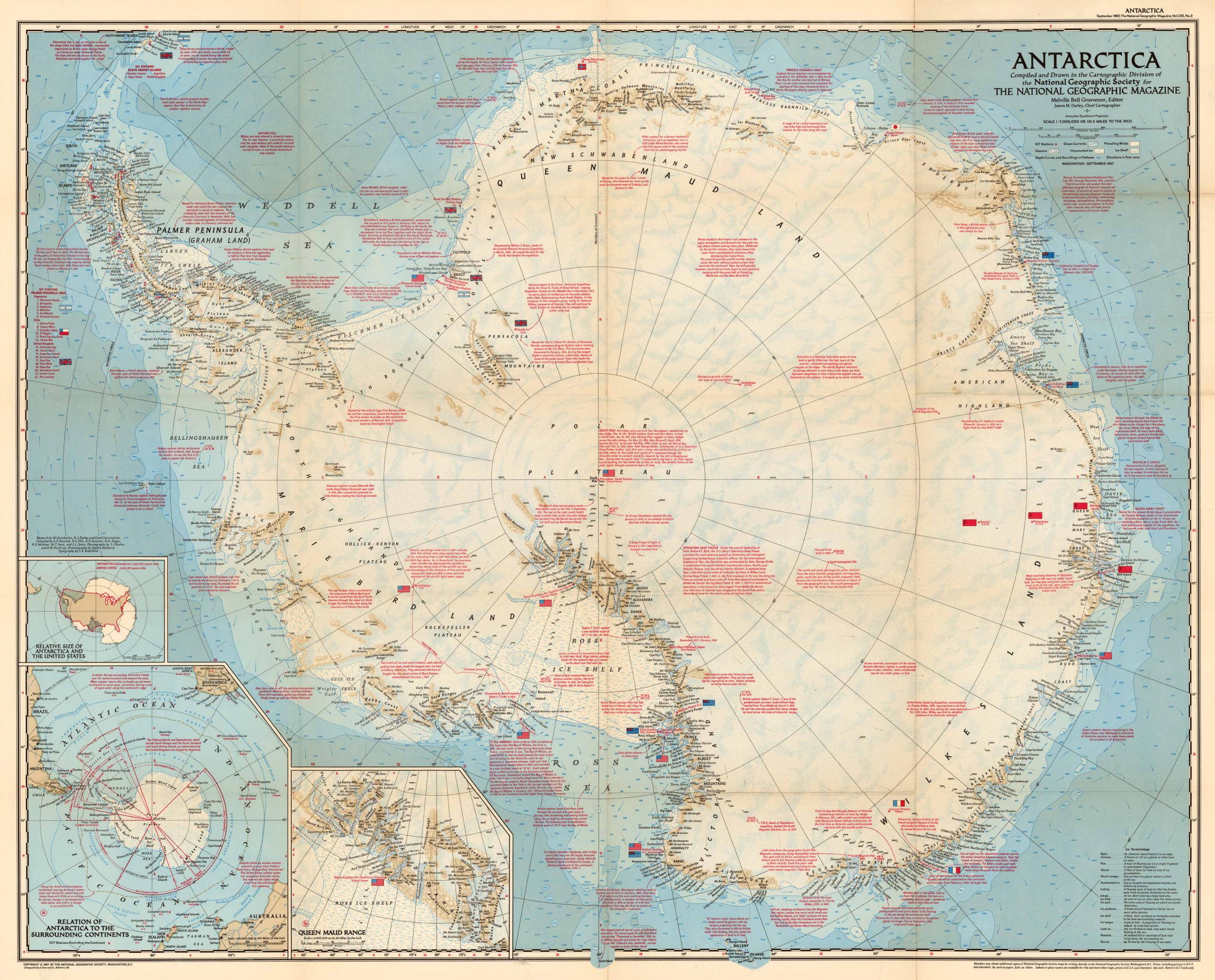
This dynamic map of Antarctica was published by National Geographic in September of 1957, a mere six months after the death of famous explorer, Richard E. Byrd. 1957 had been marked as a revolutionary year for Antarctica both for research and for exploration of the continent. The map details different markings in revolutionary exploration at the time, as well as detailed descriptions of research that was conducted in each specific region. There are three insets in this map that showcase the Queen Maud Range, the relation of Antarctica to the surrounding continents and the relative size of Antarctica and the United States.
Additional information
| Weight | .025 lbs |
|---|---|
| Dimensions | 16 × 20 × .025 in |
Town Name: Antarctica
Map Maker: National Geographic Society
Original Production Year: 1957
Map Maker: National Geographic Society
Original Production Year: 1957


