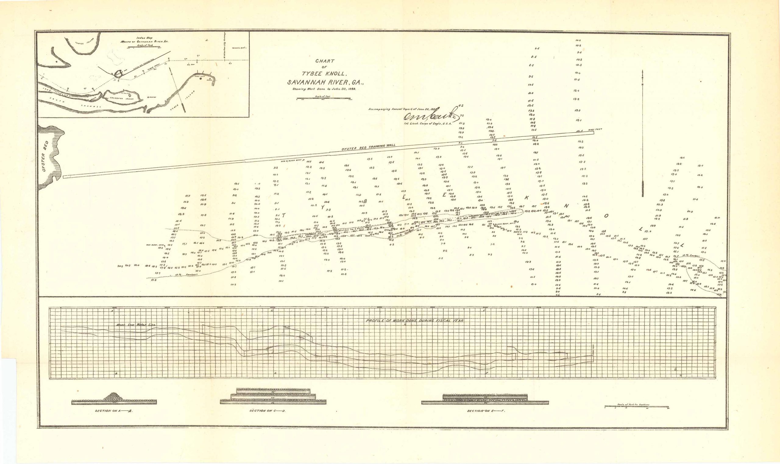
Chart of Tybee Knoll Savannah River, GA, June 30th, 1889
In stock
Chart of Tybee Knoll Savannah River, GA, showing work done to June 30th, 1889. Accompanying annual report of June 30th, 1889 by the 1st Lieut. Corps of Engineers, U.S.A. Features an inset of the mouth of Savannah River, Georgia which includes: Turtle Island, Long Island, the South Channel, Tybee Island, Cockspur Island and Tybee Knoll.
Size: 16 x 9.25 inches
Condition: Very good
Map Maker: U.S. Corps of Engineers
Original Production Year: 1889
Coloring: Black & White
Year: 1889
Condition: Very good
Map Maker: U.S. Corps of Engineers
Original Production Year: 1889
Coloring: Black & White
Year: 1889
In stock


