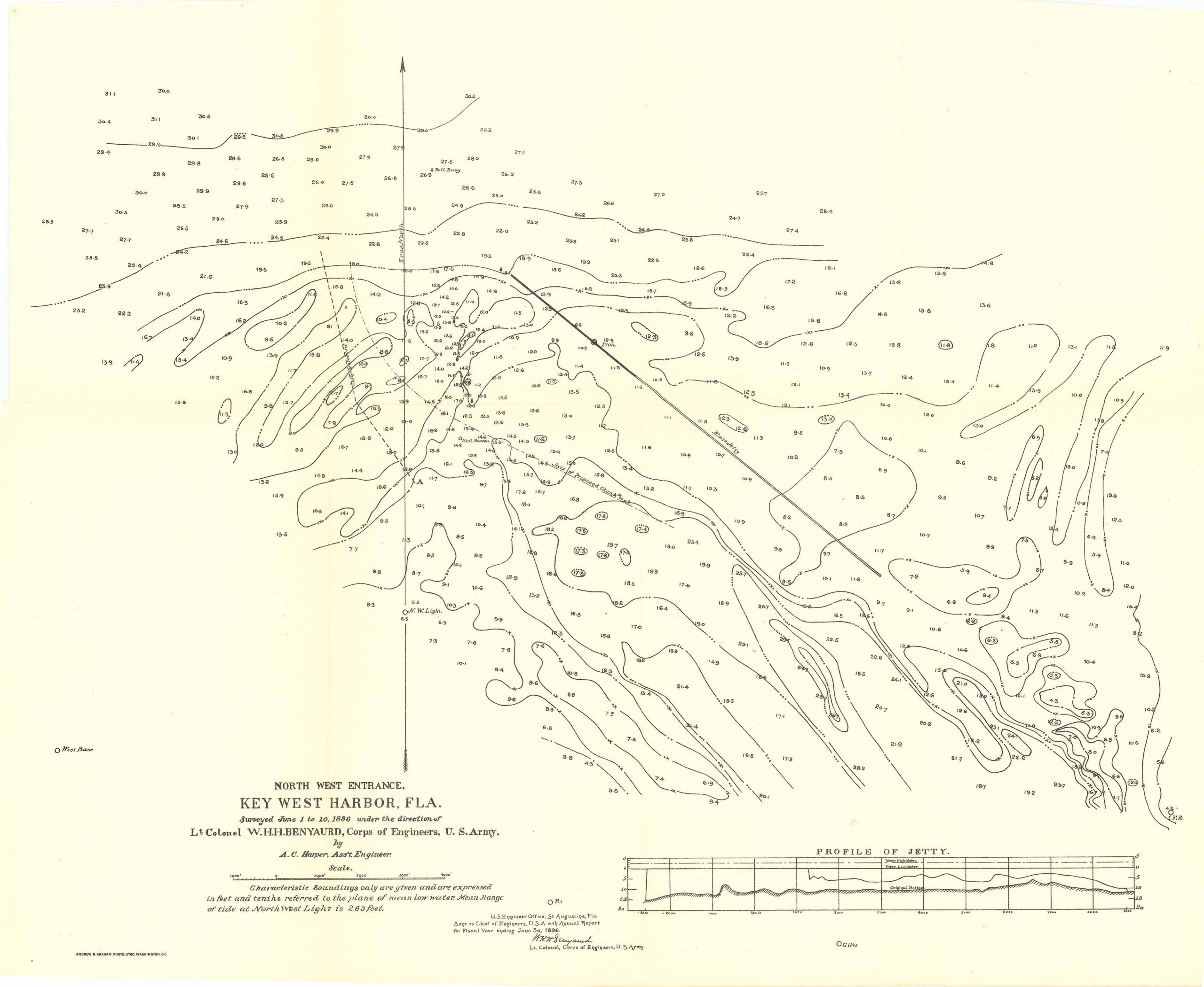
Map of North West Entrance of Key West Harbor, Florida 1896
In stock
Map of North West Entrance of Key West Harbor, Florida, surveyed from June 1 to 10, 1896 under the direction of Lt. Colonel W.H.H. Benyaurd, Corps of Engineers, U.S. Army. By A.C. Harper, Assistant Engineer. This map comes with a ‘Profile of Jetty’ as well as features all soundings and water depths. The map details that: Characteristic soundings only are given and are expressed in feet and tenths referred to the plane of mean low water.
Size: 18.5 x 14.25 inches
Condition: Very good
Map Maker: U.S. Corps of Engineers
Original Production Year: 1896
Coloring: Black & White
Year: 1896
Condition: Very good
Map Maker: U.S. Corps of Engineers
Original Production Year: 1896
Coloring: Black & White
Year: 1896
In stock


