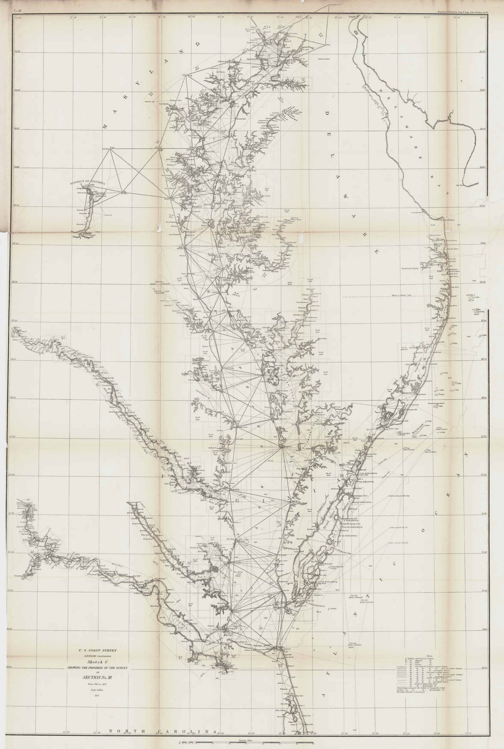
U.S. Coastal Survey Showing the Progress of the Survey in section No. III; Maryland, 1857
In stock
This coastal survey of Chesapeake Bay and its surroundings was made in 1857 by the Coast Survey Office. This detailed and intricate 1857 map primarily shows the Chesapeake Bay, but also heavily includes its surroundings such as: Virginia, District of Columbia, Pocomoke Sound, Tangier Sound, Delaware Bay, towns, roads, and many other small islands and natural features along the coast line. There is a set of notes that aid in better understanding what the various lines and symbols indicate on the map.
Size: 22.75 x 34 inches
Condition: Good- age toning, light foxing, minor paper loss at folds
Map Maker: Coast Survey Office
Year: 1857
Condition: Good- age toning, light foxing, minor paper loss at folds
Map Maker: Coast Survey Office
Year: 1857
In stock


