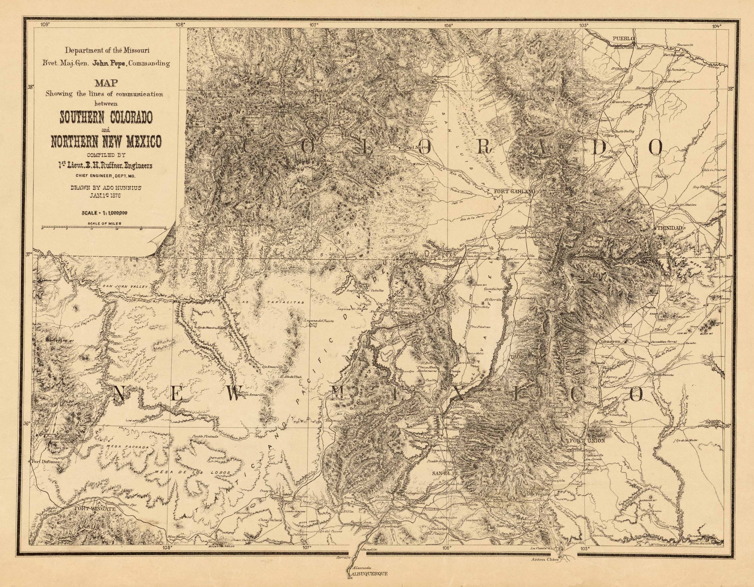
Map Showing the Lines of Communication Between Southern Colorado and Northern New Mexico, 1876. Compiled by 1st Lieutenant E.H. Ruffner, Engineer. Drawn by Ado Hunnius and created by John Pope, Commanding.
Additional information
| Weight | 0.25 lbs |
|---|---|
| Dimensions | 17 × 22 × 0.002 in |
Map Maker: United States Army Department of the Missouri
Original Production Year: 1876
Year: 1876
Original Production Year: 1876
Year: 1876


