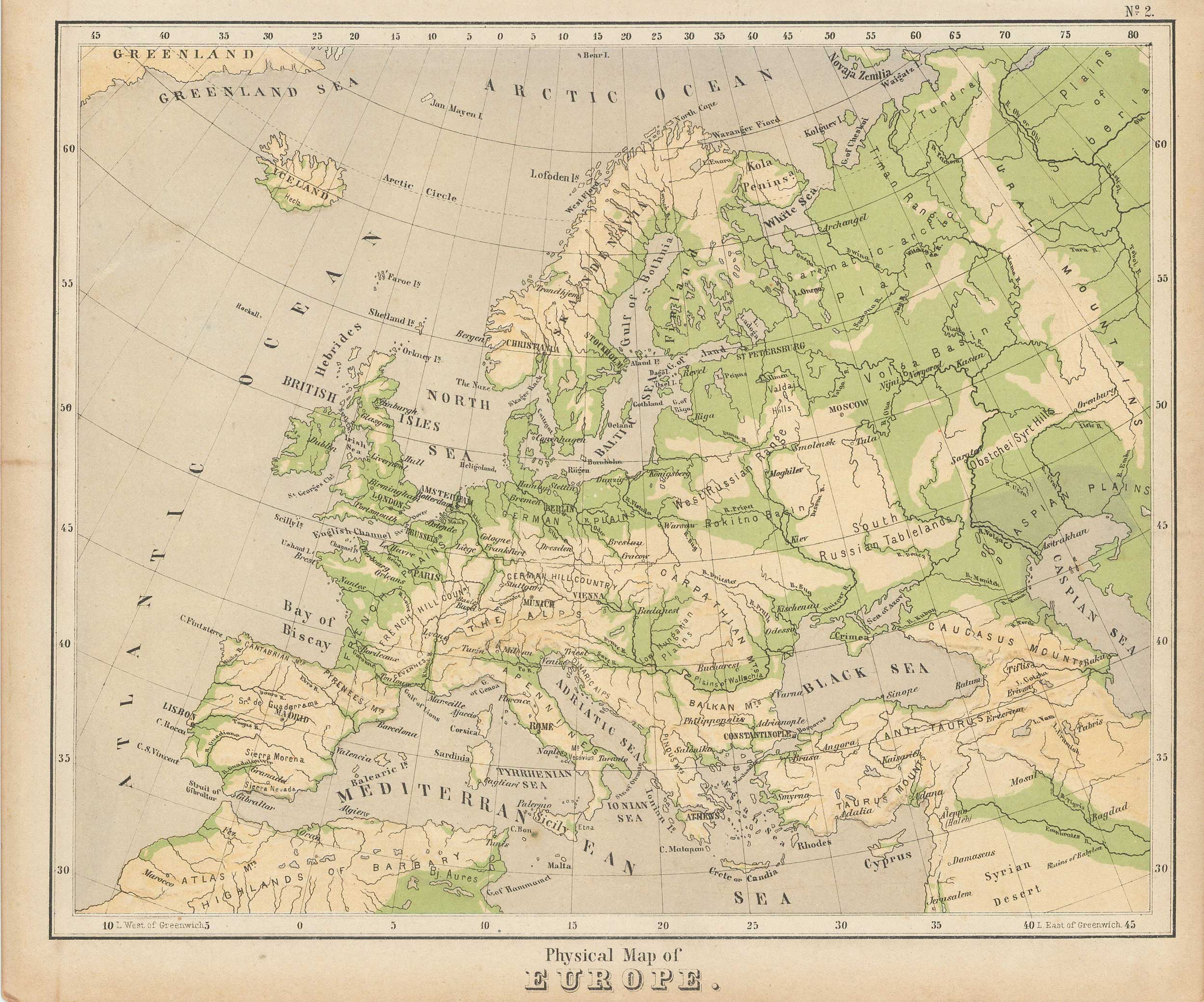
Royal Relief Atlas of All Parts of the World 1885 – Physical Map of Europe
Out of stock
A scarce and interesting map of Europe, printed in an innovative technique of embossed style on “plasticised” card to illustrate the physical relief of continent. The map appeared in the scarce “Royal Relief Atlas Of All Parts Of The World” in which the physical relief of an area could be seen. This map is a fascinating tactile creation that allow us to feel the river valleys, plateaus, hills and mountains of the world, well detailed for place names, borders and even land quality, as it was known in the 1885. The map itself is composed of a sturdy pressed paper with a card border to protect the raised embossed detail. The lithographic color amplifies the map visually, and has remained strong. An amazing early “raised-relief” map.
Condition: Good, some foxing and age toning
Map Maker: PHILIPPS BEVAN
Coloring: PRINTED COLOR
Year: 1885
Out of stock


