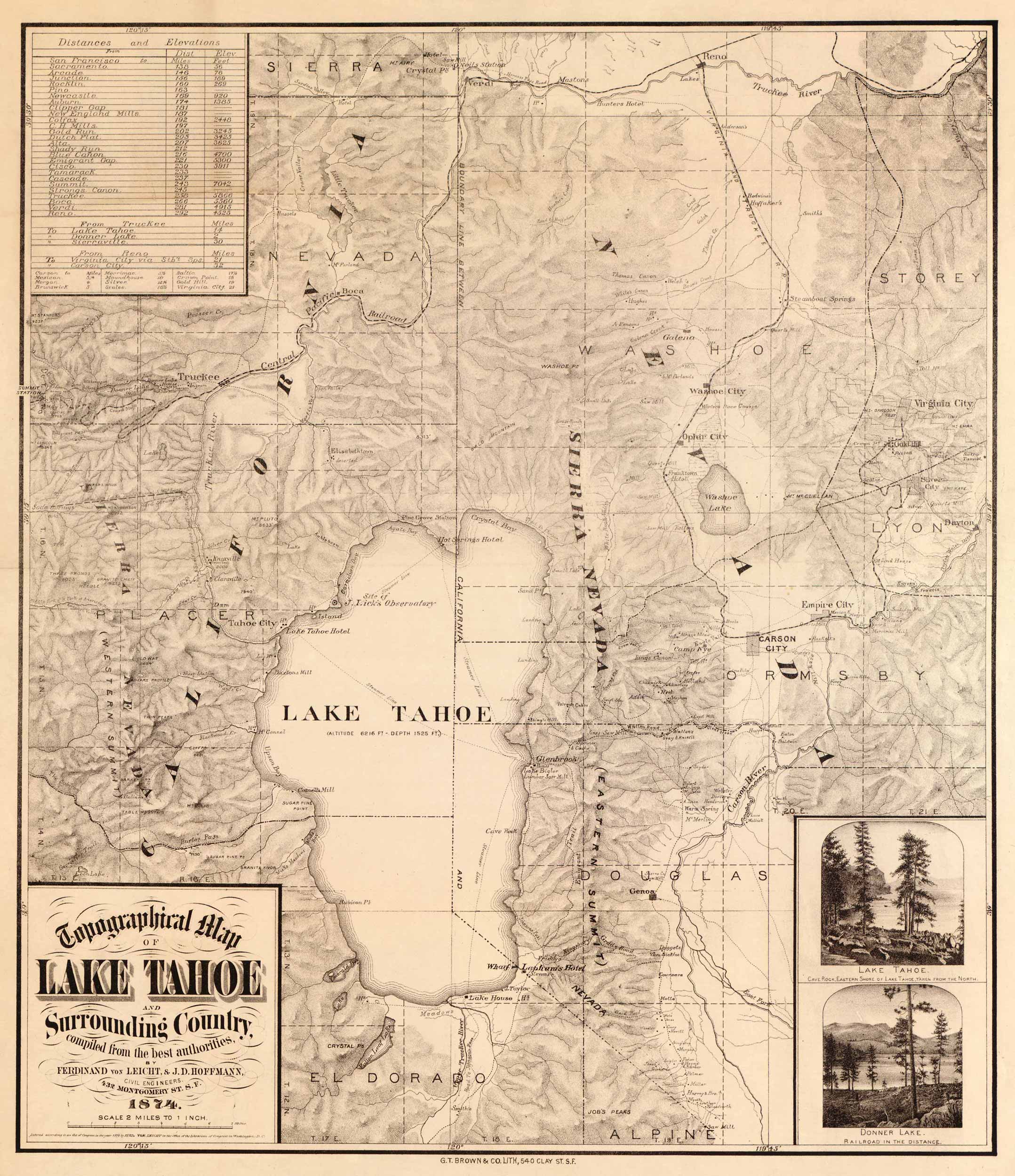
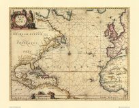
Topographical map from 1874 showing Lake Tahoe and the surrounding country. This map is attributed to Ferdinand von Leicht and J.D. Hoffman. Includes inset images of Cave Rock on the Eastern shore of Lake Tahoe and Donner Lake.
Additional information
| Weight | .25 lbs |
|---|---|
| Dimensions | 23 × 20 × .002 in |
Map Maker: Ferdinand von Leicht
Original Production Year: 1874
Original Production Year: 1874


