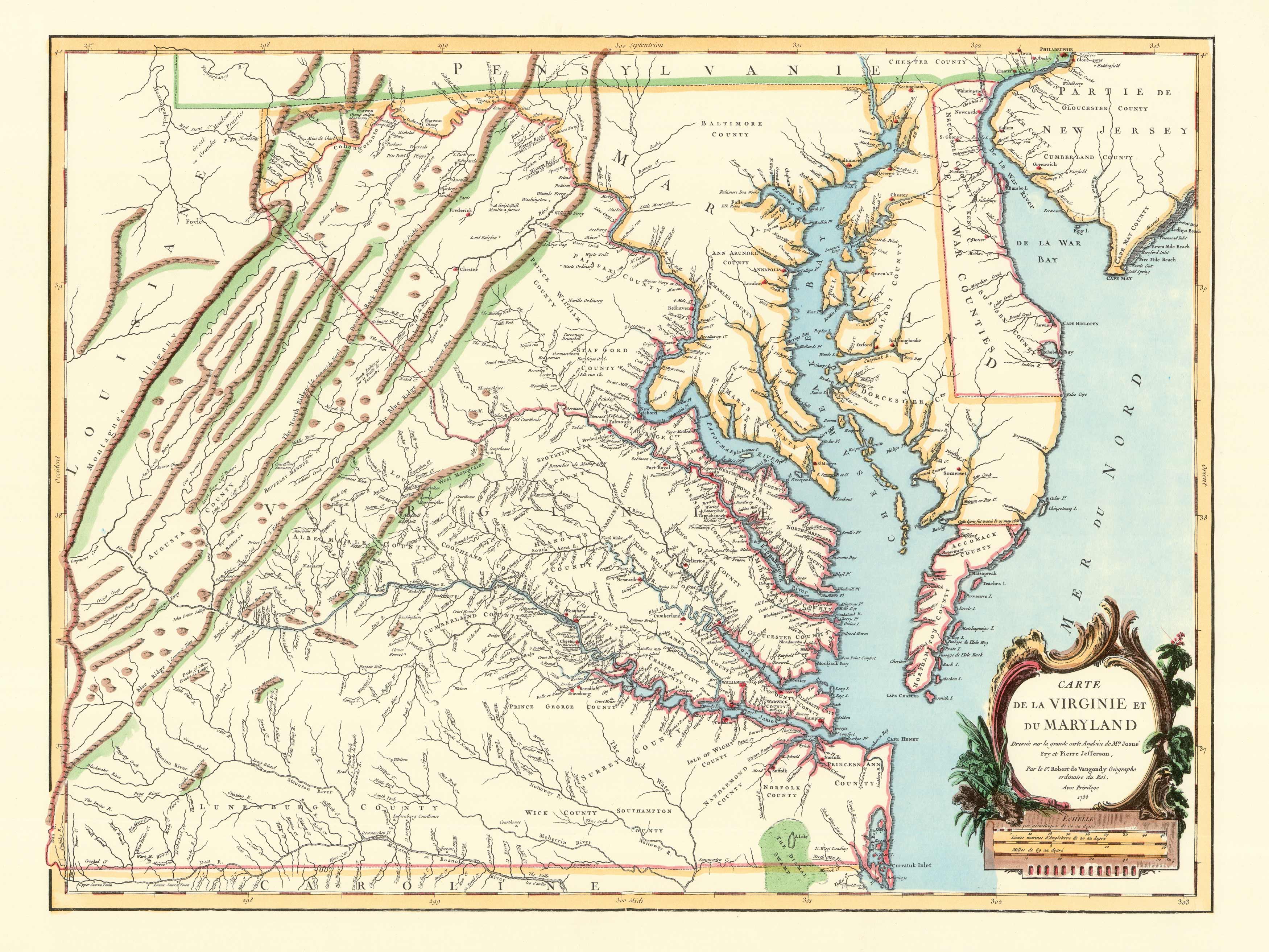
This map of Virginia and Maryland was published in France by Robert de Vaugondy, in 1751. The detailed and delicately colored engraving was based on the map prepared by Joshua Fry and Peter Jefferson in 1751. It included all of Delaware and the southern portions of New Jersey and Pennsylvania.
Additional information
| Weight | 0.25 lbs |
|---|---|
| Dimensions | 18.1 × 24 × 0.002 in |
Map Maker: Joshua Fry and Peter Jefferson
Original Production Year: 1751
Original Production Year: 1751


