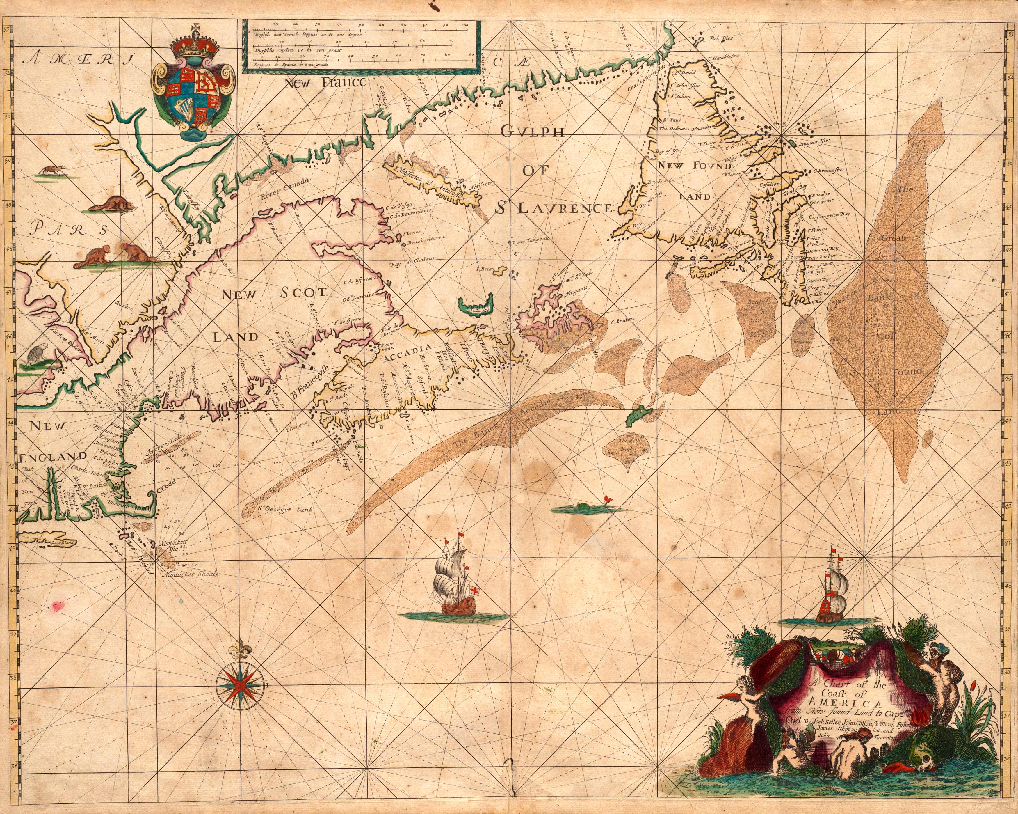
This 1676 map by John Speed shows New York and New England. This map is different from other maps of its time for integrating British names as opposed to Dutch names of colonies. This marks a period in the colonies where England was gaining power. New York, the state and city, is no longer referred to as New Netherland and New Amsterdam. New Jersey and Boston are also shown in this map. Foxes, bears, otters, and other wildlife associated with the areas are also captured. Above New York and New England, New Scotland” is also depicted.”
Additional information
| Weight | 0.25 lbs |
|---|---|
| Dimensions | 22 × 29 × 0.002 in |
Map Maker: John Speed
Original Production Year: 1676
Original Production Year: 1676


