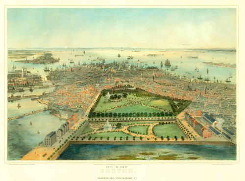
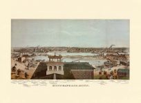
This Bachmann bird’s-eye view depicts Boston in 1850. This map employs painstaking minuscule details of every window on each building and the ships leaving the harbor. As this was the first aerial view of the city, Bachmann labored hard to recreate a realistic model of Boston from above. His techniques were relentless; Bachmann used hundreds of sketches and mathematics to create his elevated views. The map captures additions to the landscape, including the Public Garden, the railroad at Park Square, the State House, and the Bunker Hill Monument. In the park, one can see numerous families, couples, and dogs walking on the promenade near the fountains. A train just leaves the terminal and multiple ships collect on the harbor. A picturesque and insightful glimpse into another era!
Additional information
| Weight | 0.25 lbs |
|---|---|
| Dimensions | 23 × 32 × 0.002 in |
Map Maker: Bachmann, John
Original Production Year: 1850
Original Production Year: 1850


