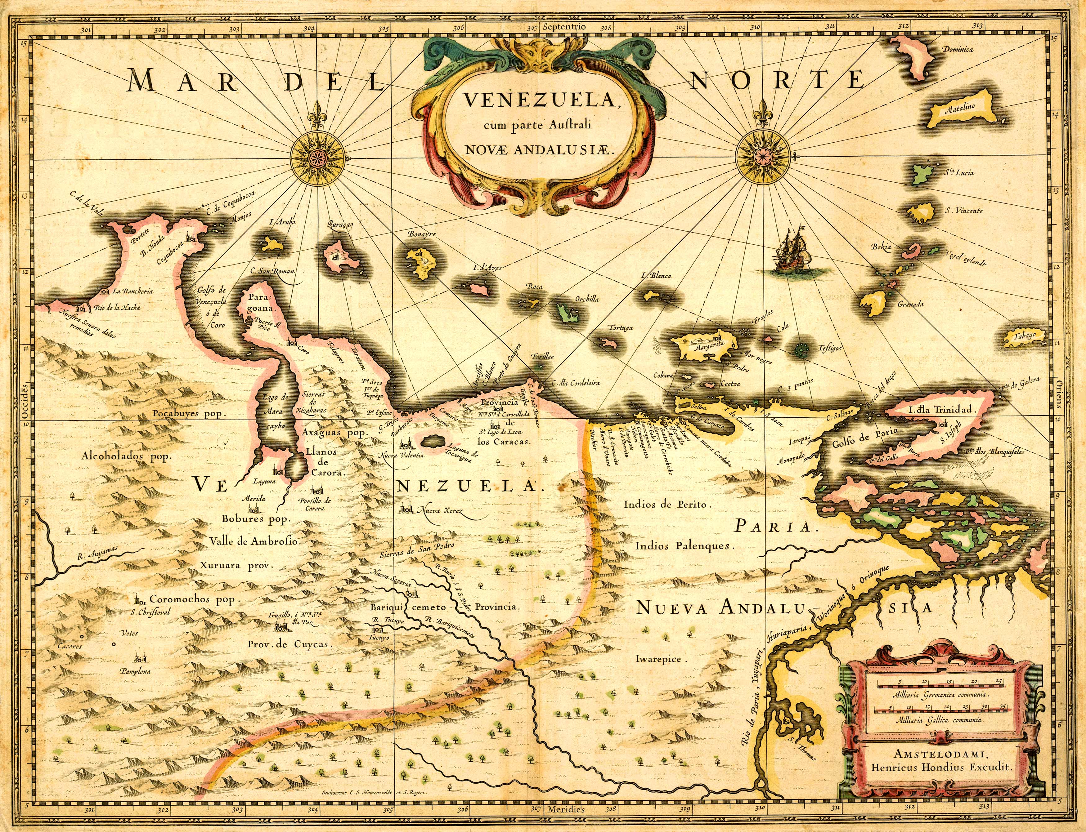
This map of Venezuela by Henricus Hondius in 1636 identifies some coastal towns, lakes, cities, rivers, and Caribbean islands. Some primitive topographic information is shown. Artistic embellishments include 2 cartouches, a scale, a ship sailing the Atlantic, and two compasses.
Additional information
| Weight | 0.25 lbs |
|---|---|
| Dimensions | 23 × 30 × 0.002 in |
Map Maker: Henricus Hondius
Original Production Year: 1636
Original Production Year: 1636


