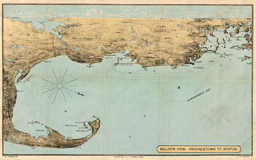
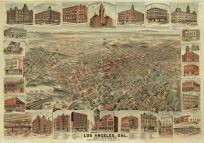
This 1879 map by F. Kimball Rogers shows Provincetown and Boston,Massachusetts.Some topographic information is shown; numerous towns between the locations are captured including Dennis, Wellfleet, Plymouth, Kingston, Duxbury, and more. A few railroads are also shown.
Additional information
| Weight | 0.25 lbs |
|---|---|
| Dimensions | 10 × 16 × 0.002 in |
Map Maker: Kimball Rogers
Original Production Year: 1879
Original Production Year: 1879


