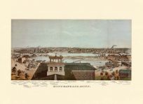
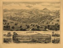
This view of College Point in Long Island shows the town as it was in 1876. This map provides a view of the harbor, streets, depots, breweries, mills, shops, churches, schools, hotels, railroad lines, rivers, and more. Building locations are indexed beneath the map.
Additional information
| Weight | 0.25 lbs |
|---|---|
| Dimensions | 18 × 26.5 × 0.002 in |
Map Maker: Fowler, T. M.
Original Production Year: 1876
Original Production Year: 1876


