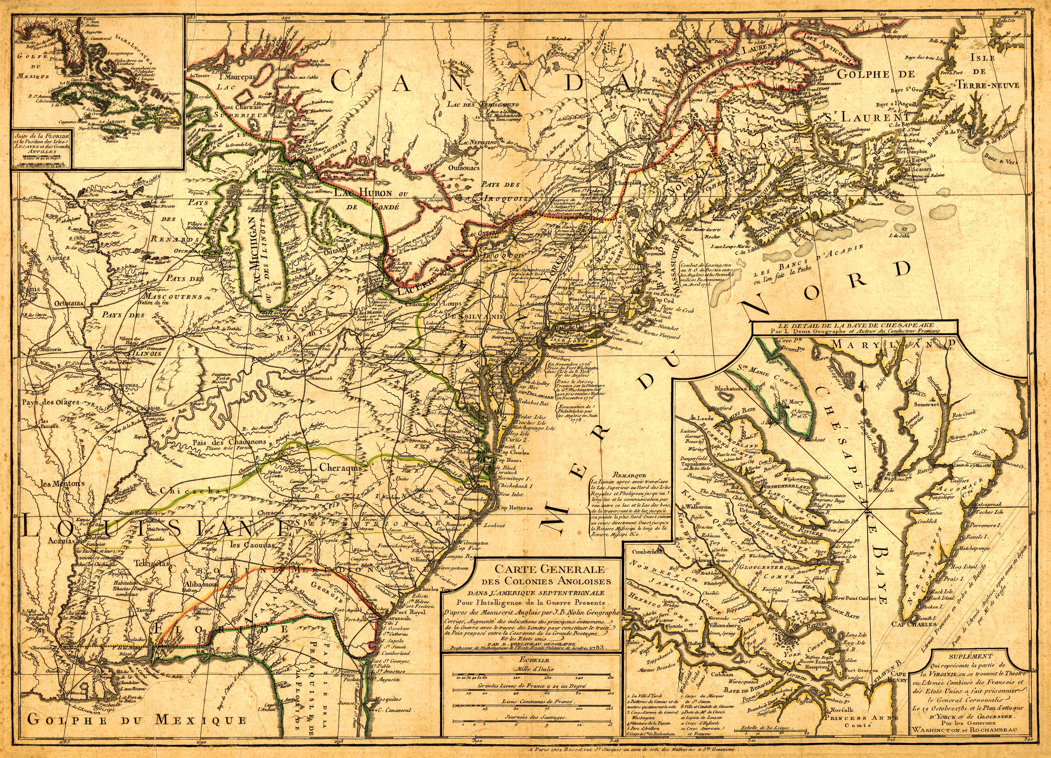
This information-rich 1783 map by Rene Phelipeau and Jean Baptise Nolin details the United States, part of Canada, and a few countries in Central America. It extends as far south as the Gulf of Mexico and Cape Canaveral in Florida; as far west as the Louisiana territory; as far east as Newfoundland, and as far north as Quebec, Canada. The map identifieskey cities, Native American settlements, the Great Lakes, numerous islands along the coast, and variousmountains and rivers. In the upper left inset, the map shows Florida, Jamaica, Cuba, Haiti, and the Dominican Republic. In the lower right inset, the map intricately details the Chesapeake Bay area. The map also has historical details in French about some locations interspersed throughout. Overall, this painstakingly-detailed and exquisite map offers a rare glimpse into North America in 1783.
Additional information
| Weight | 0.25 lbs |
|---|---|
| Dimensions | 21 × 30 × 0.002 in |
Map Maker: Rene Phelipeau, Jean Baptise Nolin
Original Production Year: 1783
Original Production Year: 1783


