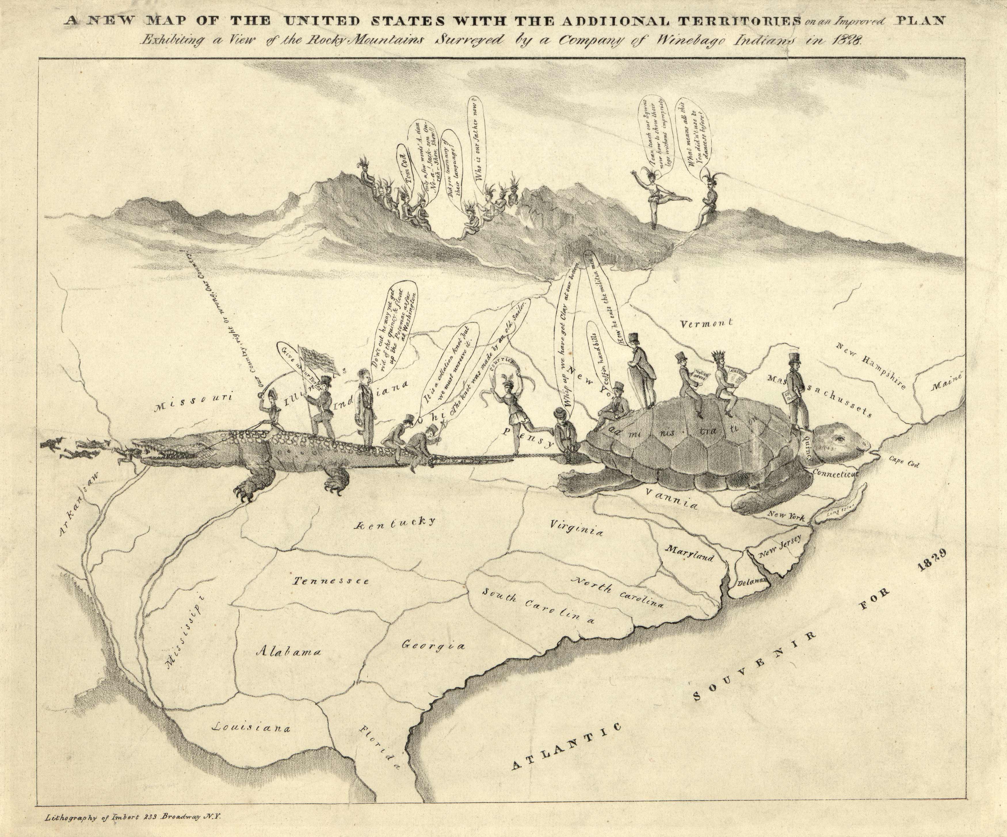
This is a map of the United States with additional territories and includes an improved plan, and exhibiting view of the Rocky Mountains surveyed by a company of Winebago Indians. A pictorial image on the front of the map of a crocodile and a sea turtle pulling away from each other. They represent the divide of the United States between those loyal to the crown and those who wished to secede from England.
Additional information
| Weight | 0.25 lbs |
|---|---|
| Dimensions | 18 × 22 × 0.002 in |
Map Maker: Anthony Imbert
Original Production Year: 1828
Original Production Year: 1828


