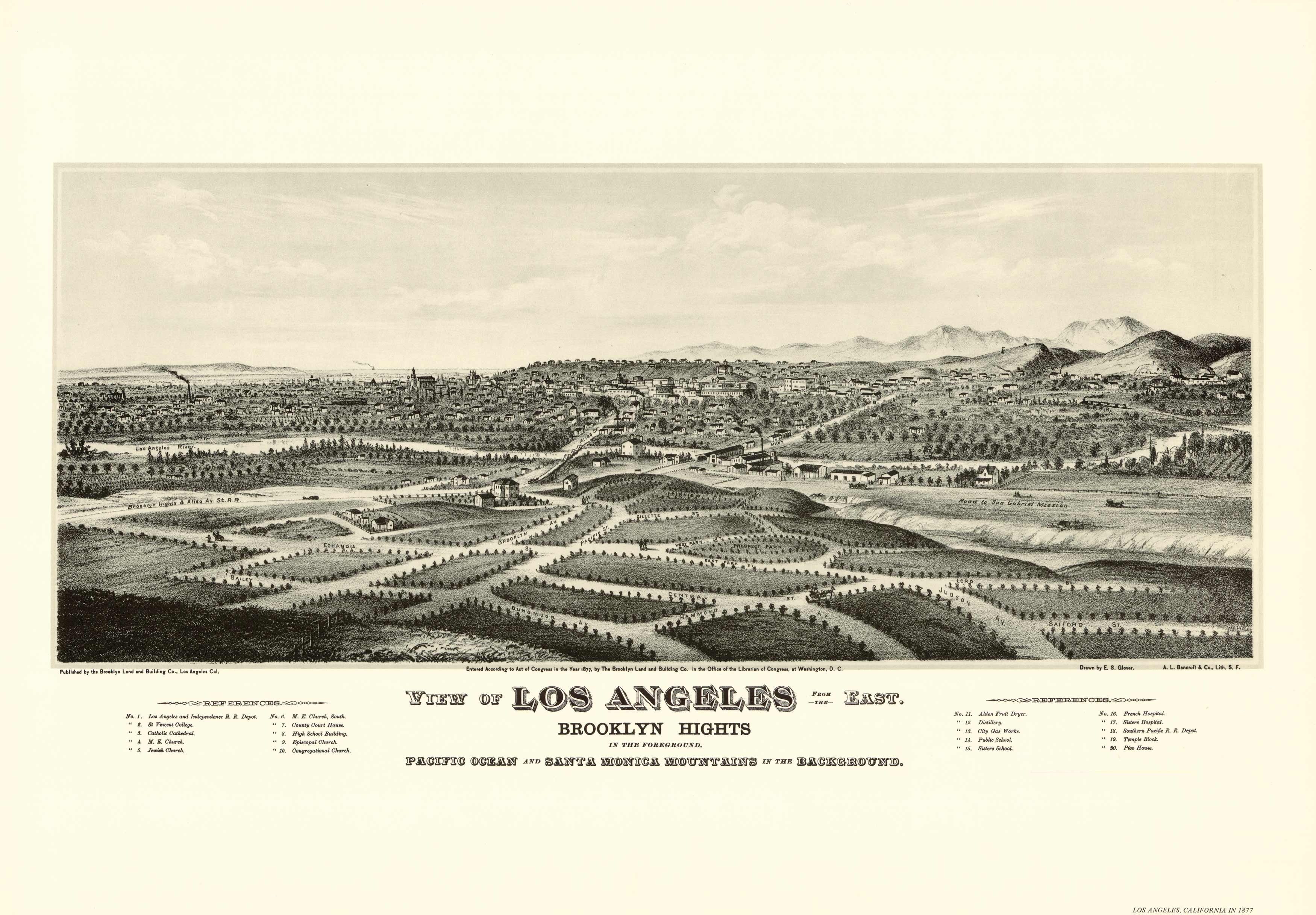
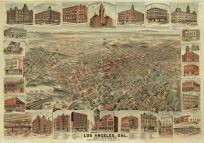
The arrival of the Southern Pacific railroad connecting Los Angeles to the east set off a wave of land speculation and development. The subdivider of Brooklyn Heights, shown in the foreground, commissioned Eli S. Glover to draw the expanding city as seen from the east. His fine, toned panorama is an appealing print, and a legend identifying twenty important buildings adds to its historic usefulness.
Additional information
| Weight | 0.25 lbs |
|---|---|
| Dimensions | 12 × 24 × 0.002 in |
Map Maker: Eli S. Glover
Original Production Year: 1877
Original Production Year: 1877


