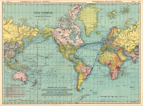
This is a great world map reproduction from Rand McNally in 1920. Ocean Currents are shown as well as tracks for full powered steam vessels. Telegraph and cable lines are also indicated as well as a key to disposition of former German colonies.
Additional information
| Weight | 0.25 lbs |
|---|---|
| Dimensions | 17.75 × 24 × 0.002 in |
Map Maker: Rand McNally
Original Production Year: 1920
Original Production Year: 1920


