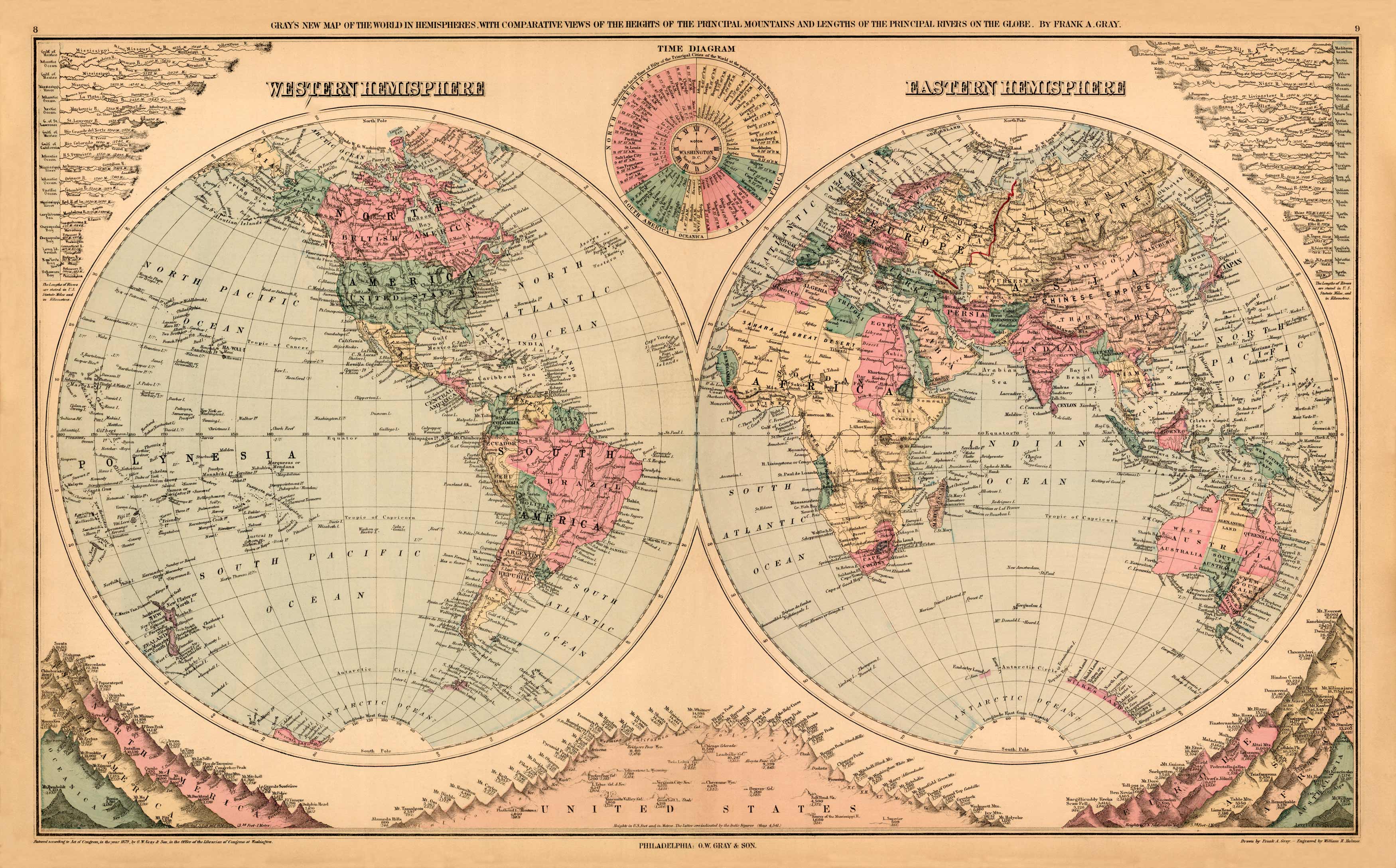
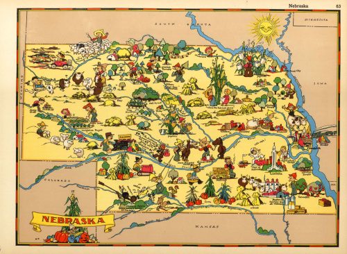
This unique hand-colored old world map was made by O.W.Gray and Son, in 1879, for The National Atlas. The Eastern and Western Hemispheres are illustrated on this map in a beautiful array of colors. Separate illustrations of major rivers and mountains border the hemispheres.
Additional information
| Weight | 0.25 lbs |
|---|---|
| Dimensions | 14 × 24 × 0.002 in |
Map Maker: O. W. Gray
Original Production Year: 1879
Original Production Year: 1879


