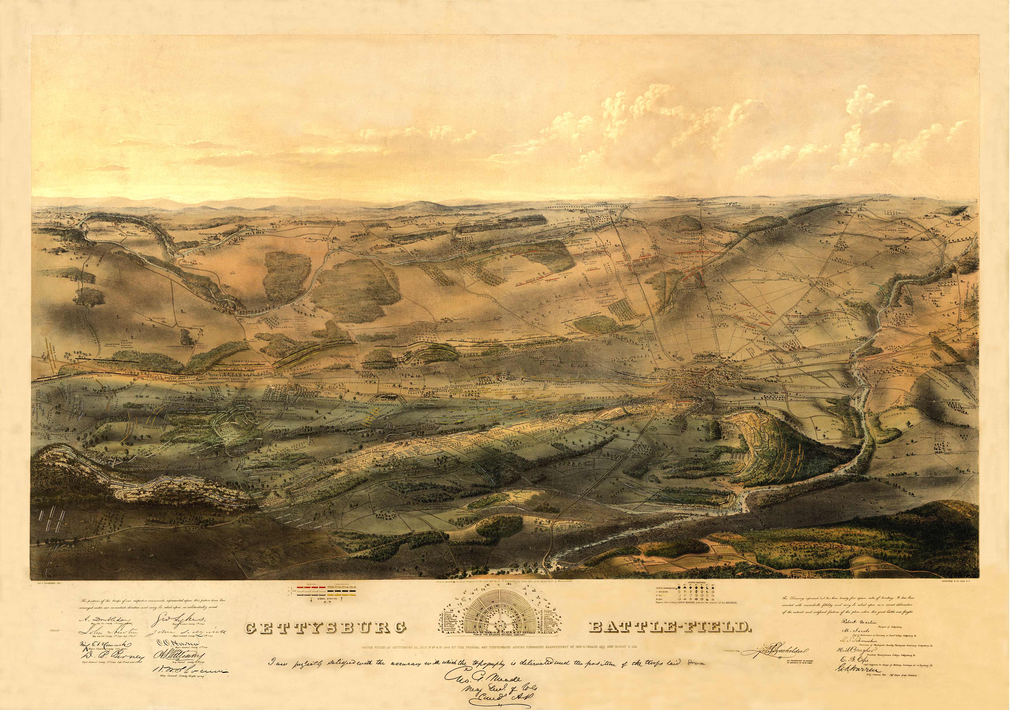
1863 Panoramic map of Battle of Gettysburg on July 1-3, 1863.Shows topography of the battlefield, points of interest and locations of all troops of both armies. Endorsements by various Union officers as to the accuracy of the positions are shown.
Additional information
| Weight | 0.25 lbs |
|---|---|
| Dimensions | 37.26 × 53 × 0.002 in |
Map Maker: John Bachelder
Original Production Year: 1863
Original Production Year: 1863


