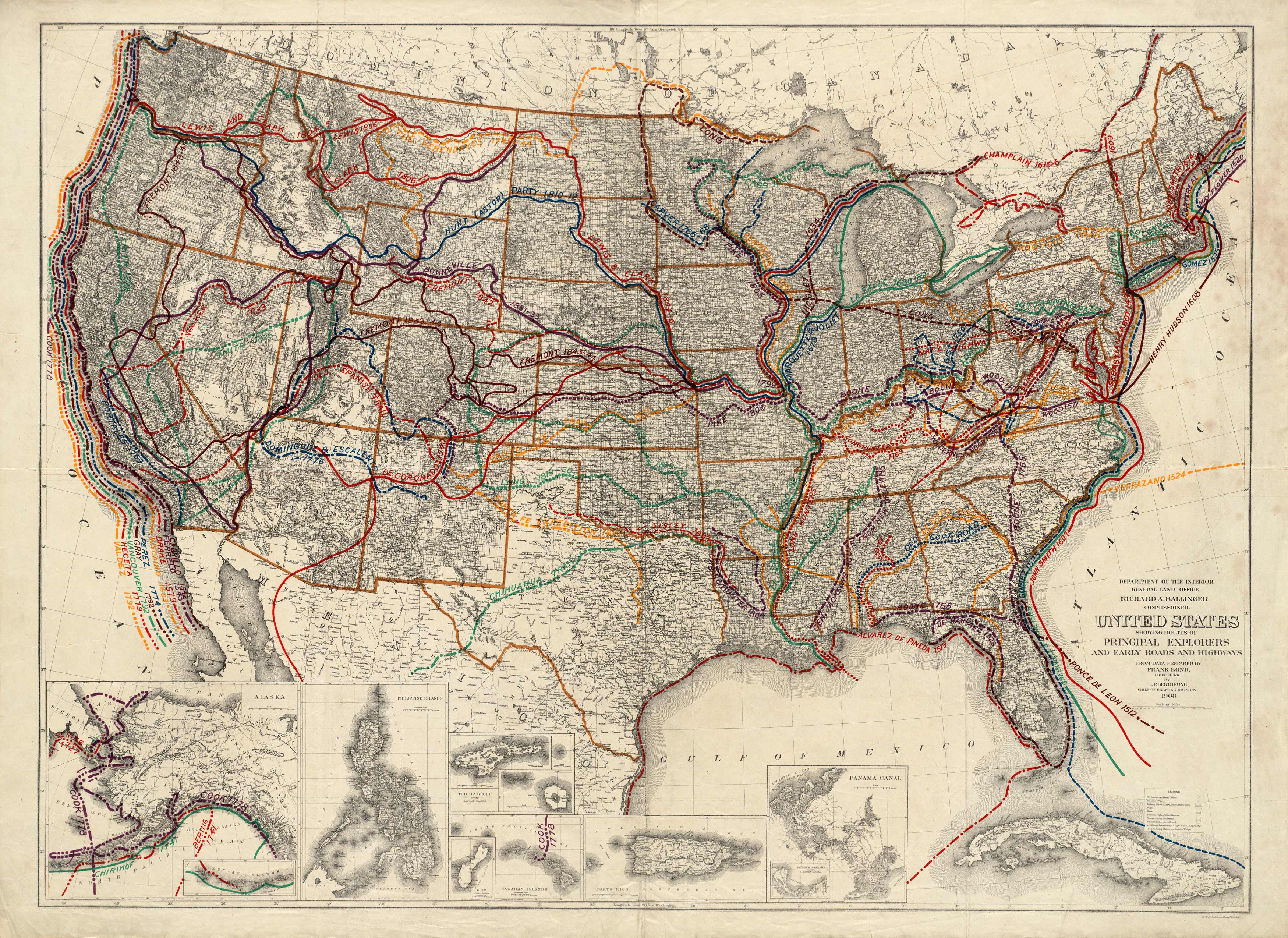
This map shows the routes of early explorers as well as early roads and highways. It has inset maps of the Philippine Islands, Panama Canal, Guam, Hawaiian Islands, Puerto Rico and Cuba.
Additional information
| Weight | 0.25 lbs |
|---|---|
| Dimensions | 38.61 × 53 × 0.002 in |
Map Maker: I.P. Berthrong
Original Production Year: 1908
Original Production Year: 1908


