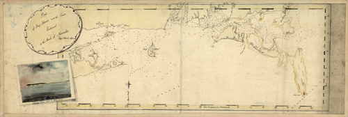
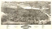
Part of Long Island; and the Coast Eastward to the Shoals of Nantucket. Includes view of Sancoty Head SSW 10 miles distant”.”
Additional information
| Weight | 0.25 lbs |
|---|---|
| Dimensions | 10 × 30 × 0.002 in |
Map Maker: John Knight
Original Production Year: c. 1778
Original Production Year: c. 1778


