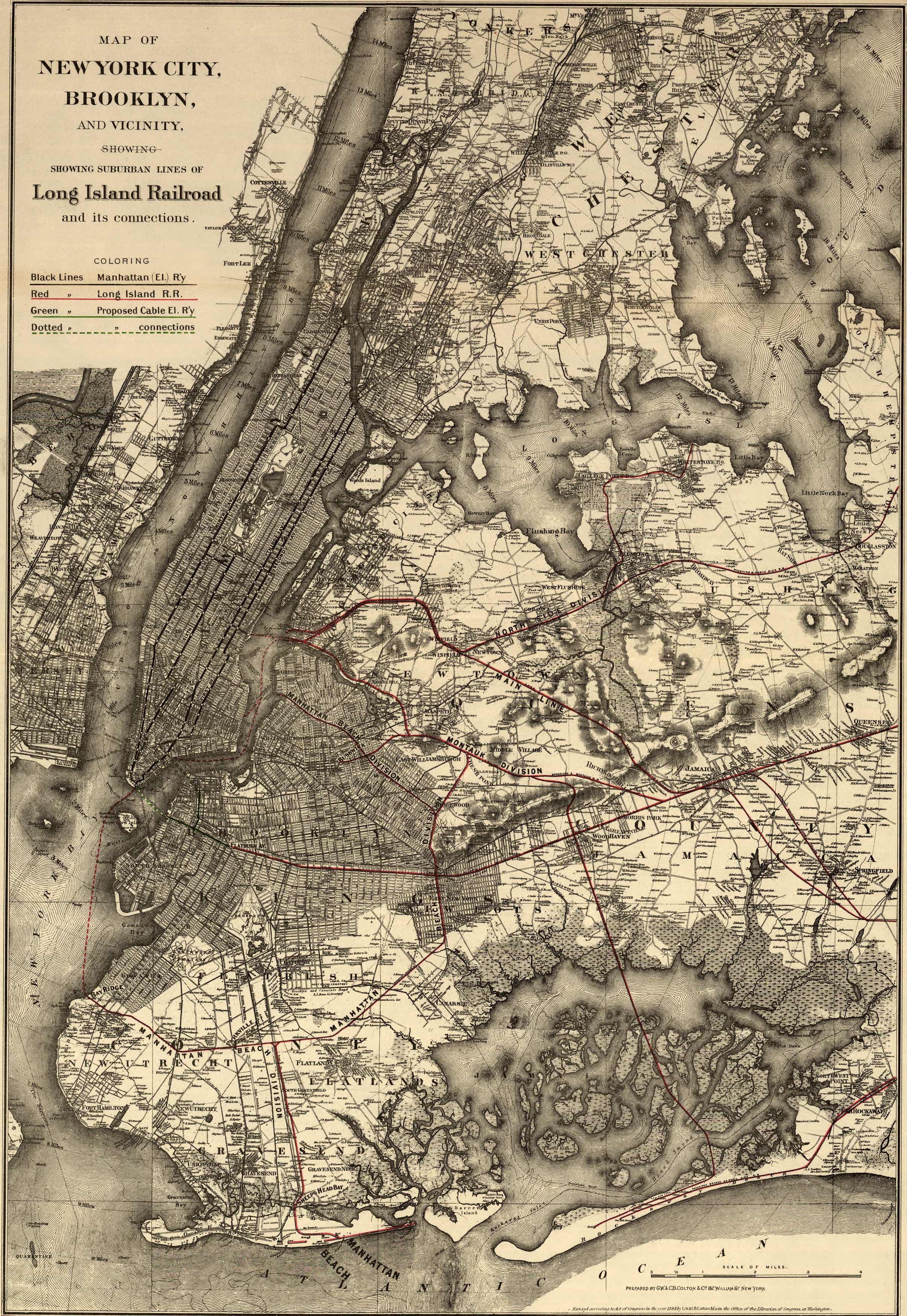
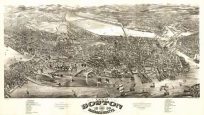
Map of the five borough area of New York showing drainage, settlements, streets, roads, and railroads. Manhattan (El.) R’y”, “Long Island R.R.”, “proposed Cable El. R’y”, and connections color coded.”
Additional information
| Weight | 0.25 lbs |
|---|---|
| Dimensions | 32 × 22 × 0.002 in |
Map Maker: G.W. & C.B. Colton
Original Production Year: 1885
Original Production Year: 1885


