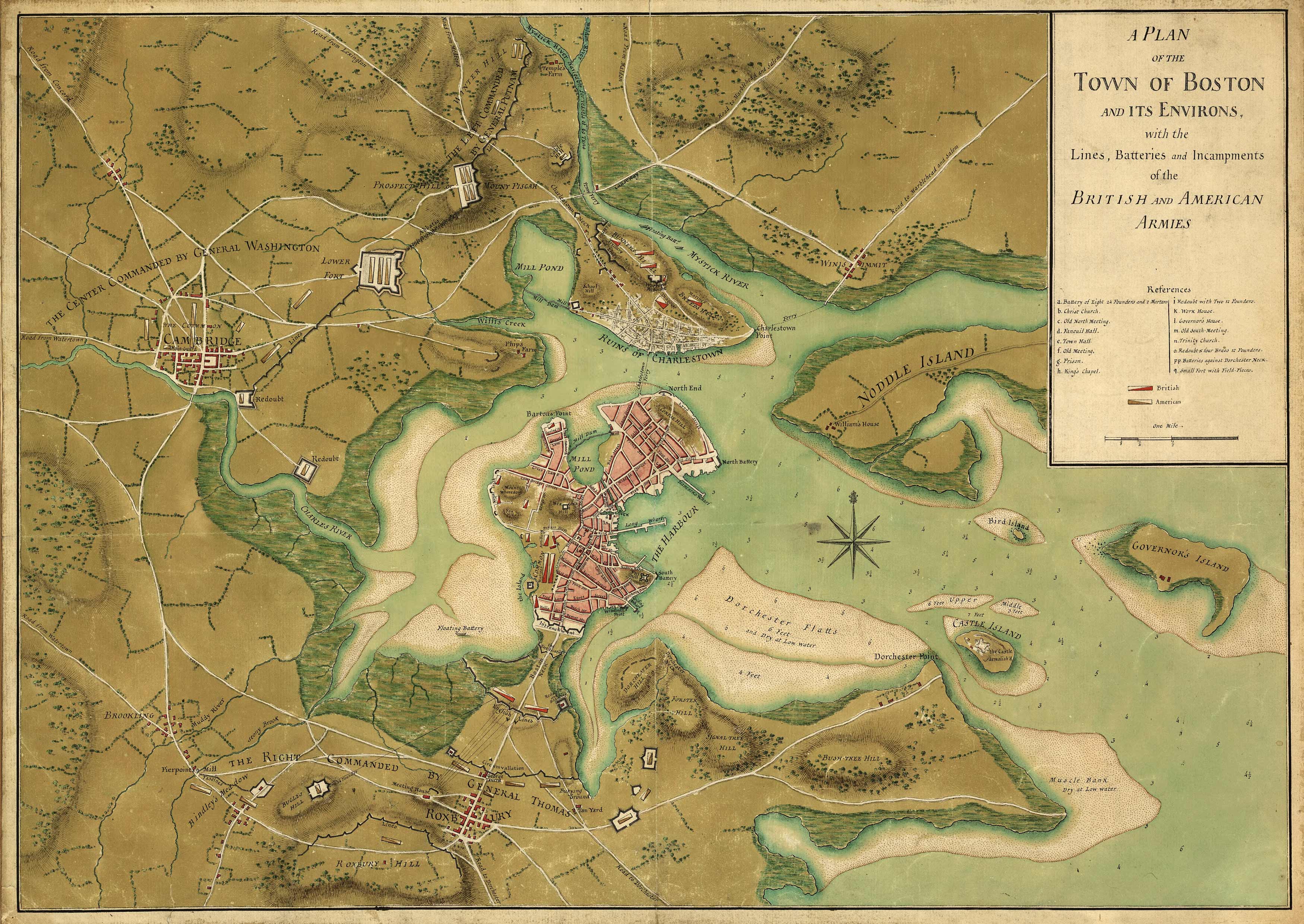
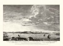
This beautifully colored manuscript map shows the plan of the town of Boston and its environs, with the lines, batteries, and incampments of the British and American armies. It includes the towns of Cambridge, Roxbury, Charlestown, Brookling”(Brookline), “Winnisimmet”(Chelsea). This map is special because it was a manuscript map, done with pen and ink and watercolor. Manuscript maps are unique because they were hand drawn and almost always were one of a kind. Sir Thomas Hyde Page was a decorated British military engineer and cartographer for the English crown. Page went with the corps of engineers to North America and distinguished himself in service to General Pigott at the Battle of Bunker Hill in June of 1775, where he was severely wounded. He drew several maps of Boston Harbor and the Bunker Hill area during that time. “
Additional information
| Weight | 0.25 lbs |
|---|---|
| Dimensions | 17 × 24 × 0.002 in |
Map Maker: Sir Thomas Hyde Page
Original Production Year: 1776
Original Production Year: 1776


