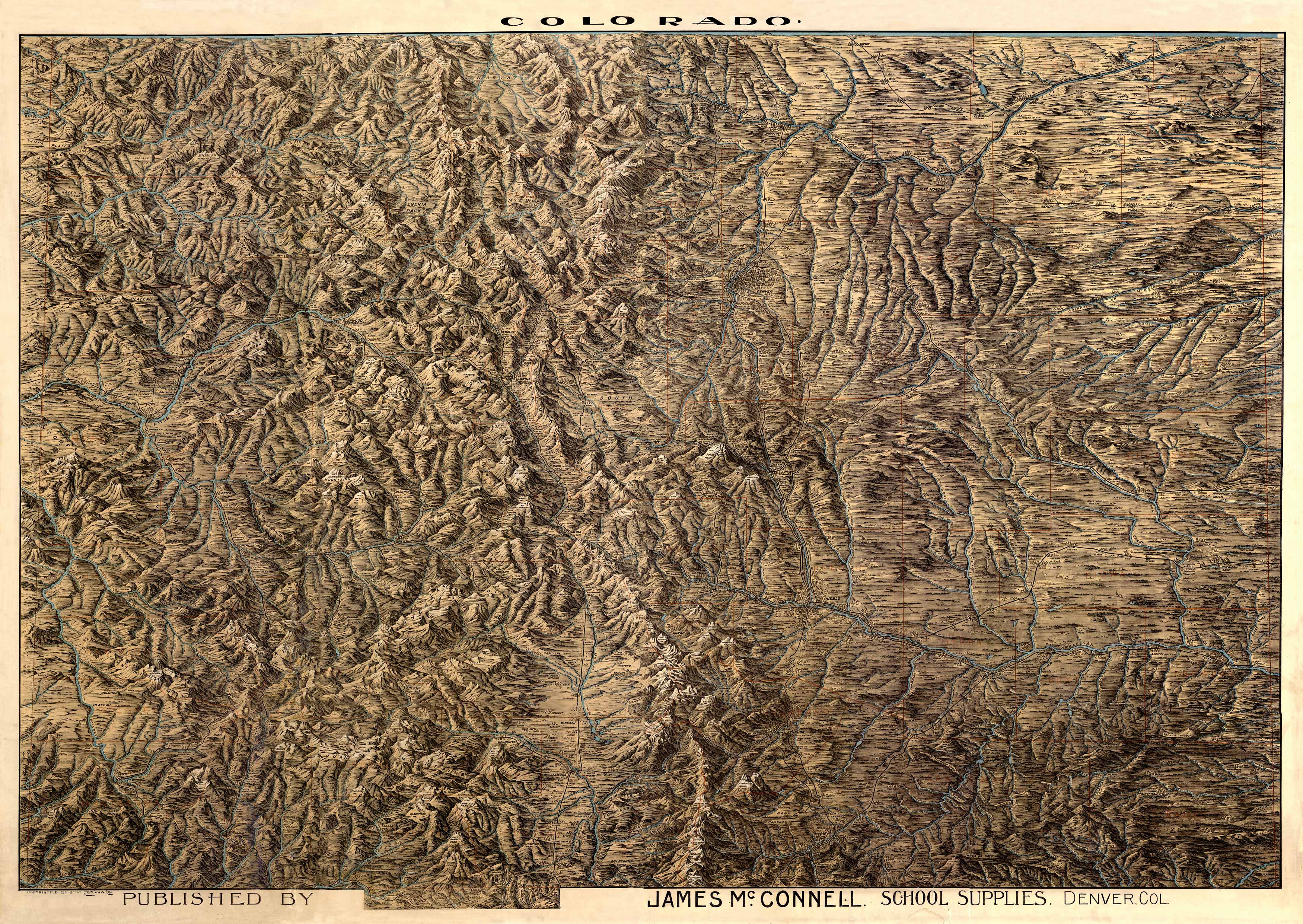
This map was created in 1894 by James McConnell School Supplies of Denver. It artistically shows shaded relief to depict Colorado�s mountains. It is rich with detail and shows at least 200 towns that no longer exist in the state. Many of these towns became victims of mining busts in the mountains, many of them abandoned during droughts on the eastern plains, and many of them depressed by the rise of the automobile culture. During the height of the railroads, Colorado needed tiny towns in every settled area to provide people with food & supplies – but as roads and private cars became more widely available, many of these small towns became unnecessary and faded into obscurity. Original McConnell maps that measure roughly four feet by six feet are sometimes rescued from old schoolhouses that are collapsing or being torn down. These enormous, original rolled maps, were glued to a linen canvas and designed to scroll down over a school chalkboard. They once provided Colorado�s children an opportunity to study the states mining camps, towns, rivers and mountains. And they now provide map lovers & historians a fascinating chance to look into Colorado�s past. We sold the original of this map in 2002.
Additional information
| Weight | 0.25 lbs |
|---|---|
| Dimensions | 40 × 56.4 × 0.002 in |
Map Maker: James McConnell
Original Production Year: 1894
Original Production Year: 1894


