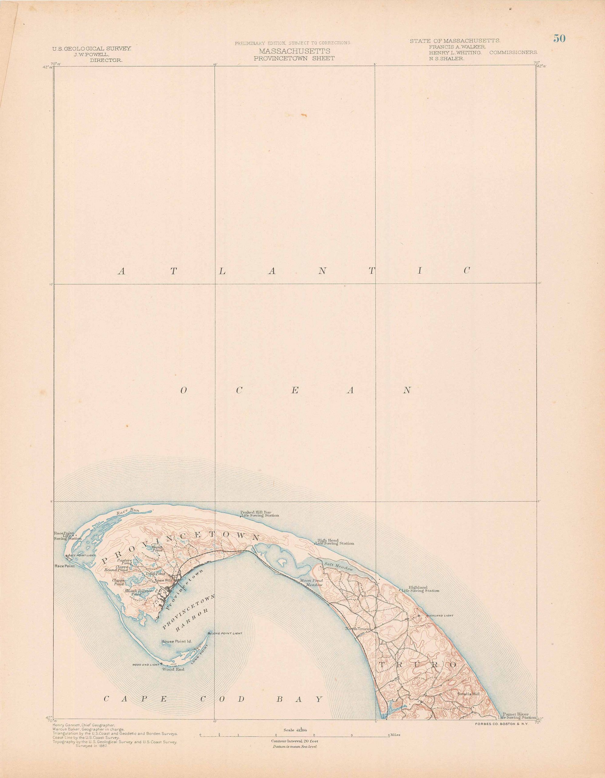
Massachusetts-Provincetown Sheet
In stock
Art Source International is pleased to offer topographical surveys from the 1884-1888 Atlas of Massachusetts. This finely detailed collection was made by the United States Geological Survey and the Commissioners of the Commonwealth. These maps show the topography of Massachusetts counties and towns, including such features as railroads, buildings, wagon trails, rivers, lakes and ponds.
Size: 13 x 17.5 inches
Condition: Excellent
Map Maker: U.S Geological Survey
Coloring: Machine Coloring
Year: circa 1885
Condition: Excellent
Map Maker: U.S Geological Survey
Coloring: Machine Coloring
Year: circa 1885
In stock


