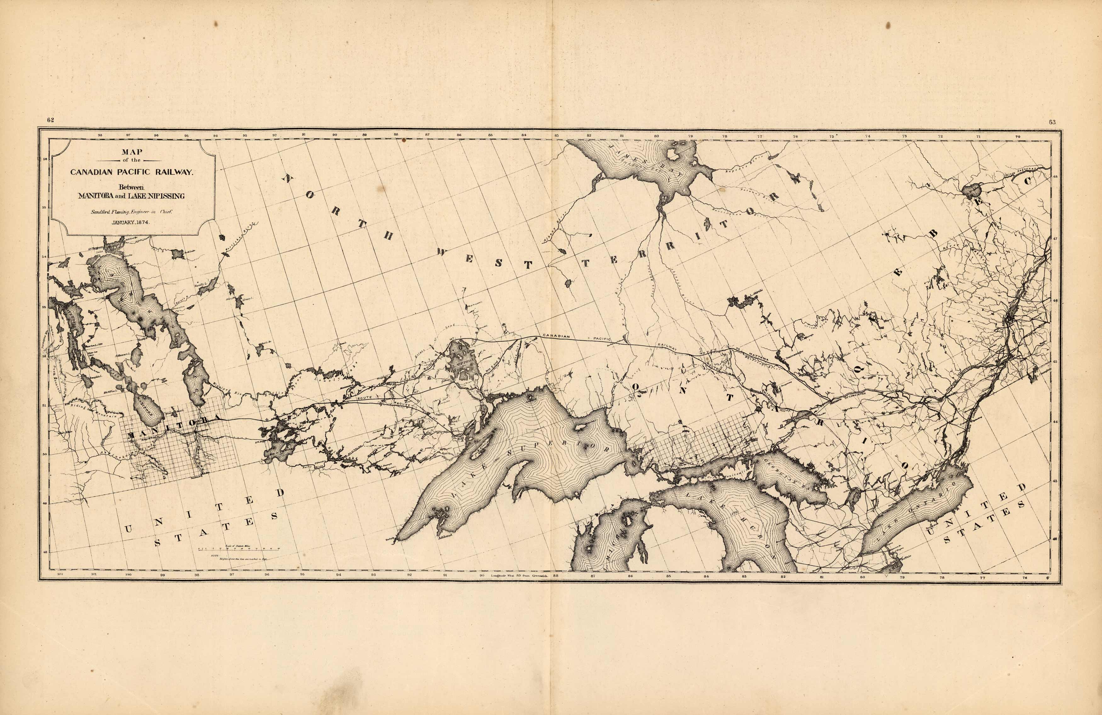
Map of the Canadian Pacific Railway Between Manitoba and Lake Nipissing
In stock
H. F. Walling made the maps in “Tackaburys Atlas of the Dominion of Canada” in 1875. This map shows the Canadian Pacific Railway from Manitoba to Lake Nipissing as mapped in 1874.
Size: 85 x 11 inches
Condition: Good-age toning
Map Maker: H. F. Walling, C. E.
Coloring: Black and White
Year: 1875
Condition: Good-age toning
Map Maker: H. F. Walling, C. E.
Coloring: Black and White
Year: 1875
In stock


