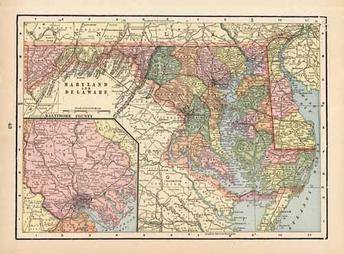
Maryland & Delaware
In stock
This colorful map of Maryland & Delaware came from Crams 1894 Standard American Atlas of the World. In 1869 the George F. Cram Company was born and the Cram name quickly became synonymous with accuracy and innovation. This map shows cities and towns, rivers, mountains, and roads.
Size: 13 x 9 inches
Condition: Good - minor tears, age toning
Map Maker: George F. Cram
Coloring: Printed Color
Year: 1894
Condition: Good - minor tears, age toning
Map Maker: George F. Cram
Coloring: Printed Color
Year: 1894
In stock


