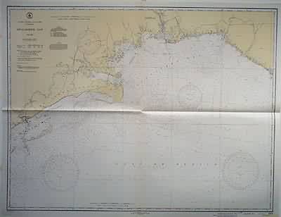
Florida – Apalachee Bay
In stock
This coastal survey was stamped as completed on August 11, 1945 by the U.S. Coast and Geodetic Survey department in Washington D.C. Apalachee Bay is illustrated on this map. Details include the names of cities on the coast, identification of bridges and depth readings. Other details include: Temporary features such as buoys and cable areas are hand stamped on the map Notes on map read: Caution: Temporary changes affecting Lights, Buoys and Day Beacons Aides which have been destroyed or removed, but which will be reestablished and are temporarily replaced by aids of different characteristics, are indicated in color by the following abbreviations… Caution: Improved Channels The side limits of the improvement are shown by broken lines. The legend gives the controlling depth through the channel ascertained on the dates stated. Because of possible shoaling, particularly at the edges, it must not be inferred that the depths stated existed throughout the entire width of the improvement on the date of the examination unless so stated, or that it has not since decreased in places across the entire width. Warning: Aids to Navigation may be altered, interrupted or removed without notice. In general, temporary changes due to war conditions are not incorporated on the chart.
Condition: Very Good-off-setting in bottom margin
Map Maker: U.S. Geodetic Survey
Coloring: Machine Color
Year: 1945
In stock


