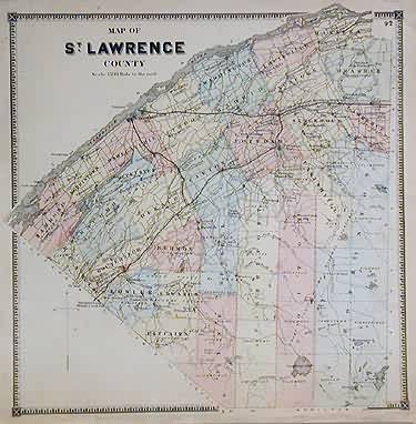
Map of St. Lawrence County
Out of stock
The “New Topographical Atlas of St. Lawrence County, New York” was made from the surveys of D. G. Beers, and published by Stone & Stewart in 1865. Each hand colored map includes abundant, historically significant details. The names of towns, railroad lines, parks, rivers, and more relevant features are identified. This map shows the county of St. Lawrence.
Size: 13.5 x 13.75 inches
Condition: Very Good-age toning, minor foxing and off-setting
Map Maker: D. G. Beers
Coloring: Original Hand Color
Year: 1865
Condition: Very Good-age toning, minor foxing and off-setting
Map Maker: D. G. Beers
Coloring: Original Hand Color
Year: 1865
Out of stock


