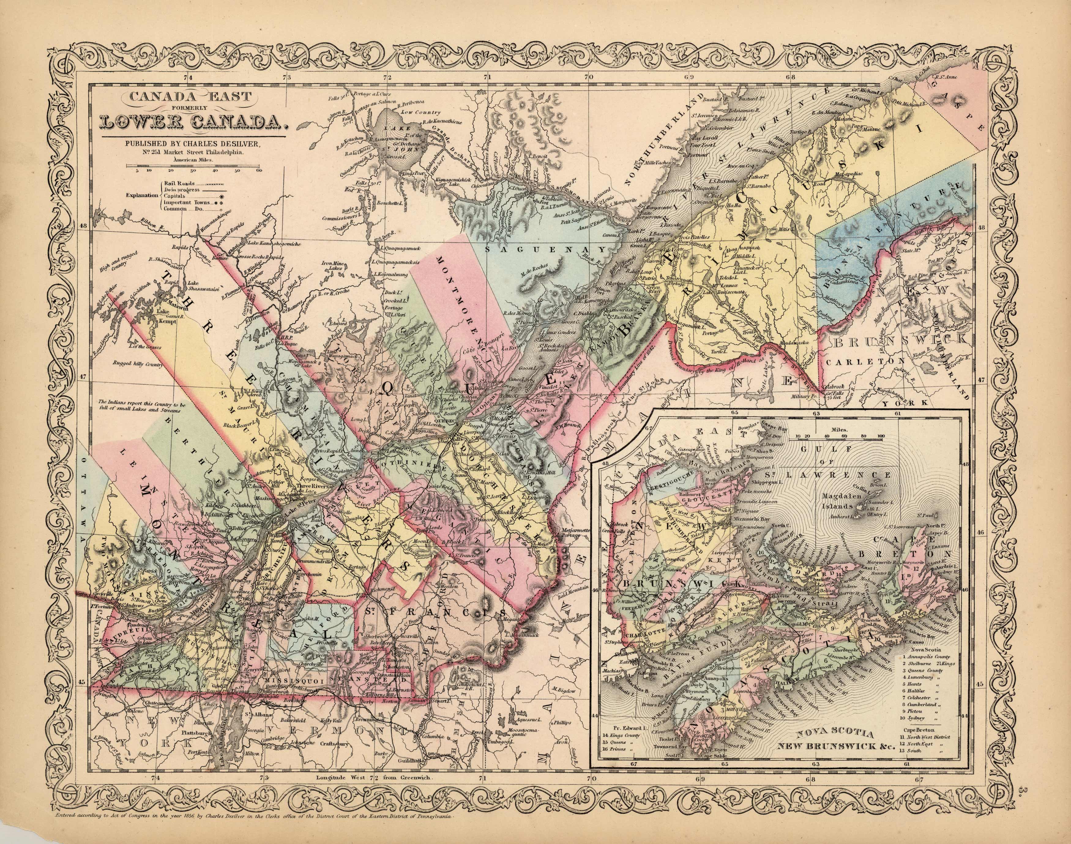
Canada East – Formerly Lower Canada
In stock
We are pleased to offer this rare map published by Charles Desilver, Philadelphia, 1856. In 1836 Henry Tanner published his first atlas. S. Augustus Mitchell acquired the publishing rights to Tanners atlas in 1846 and continued publishing it until 1849. In 1850 the copyright to Mitchell’s atlas was acquired by Thomas Cowperthwait & Co. and was subsequently acquired by Charles Desilver in 1856. This map by Desilver is truly an American rarity. We consider maps by Desilver to be some of the most visually appealing of any map from this time period. His original hand-coloring is dramatic. A collection would not be complete without a map by Charles Desilver.
Size: 16 x 13 inches
In stock


