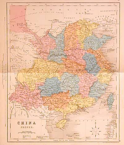
China Proper
Out of stock
This highly detailed antique map was originally published in “The New National Encyclopedia Atlas” by William Mackenzie. Published in London, England in 1868, this map is originally hand-colored in soft pastels. Map details RAILROADS, mountains, all towns, rivers, and most physical features. This map is in great condition. Because of it’s size this map would be very easy to frame.
Size: 9 x 11.5 inches
Condition: Very Good
Map Maker: William Mackenzie
Coloring: Original Hand Color
Year: 1868
Condition: Very Good
Map Maker: William Mackenzie
Coloring: Original Hand Color
Year: 1868
Out of stock


