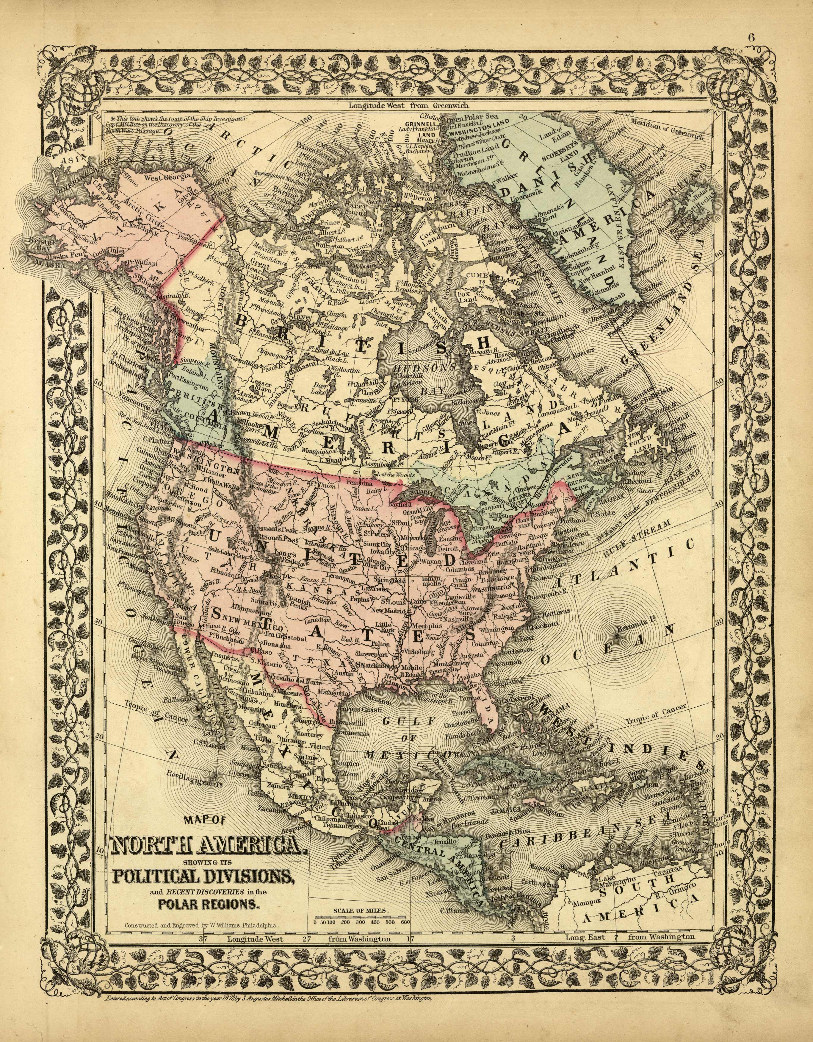
Map of North America Showing its Political Divisions, and Recent Discoveries in the Polar Regions
In stock
This exceptional map was published by S. Augustus Mitchell, Jr in 1872. The steel plate engraved map has original hand coloring and has been very well maintained with bright color and crisp lines. Surrounding this map of North America is a ‘ inch floral border. Countries, states, many cities, rivers and lakes are identified on this beautiful map.
Size: 11 x 13.5 inches
Condition: Very Good-light age toning, small tears along edges, do not affect map
Map Maker: S. Augustus Mitchell
Coloring: Original Hand Coloring
Year: 1872
Condition: Very Good-light age toning, small tears along edges, do not affect map
Map Maker: S. Augustus Mitchell
Coloring: Original Hand Coloring
Year: 1872
In stock


