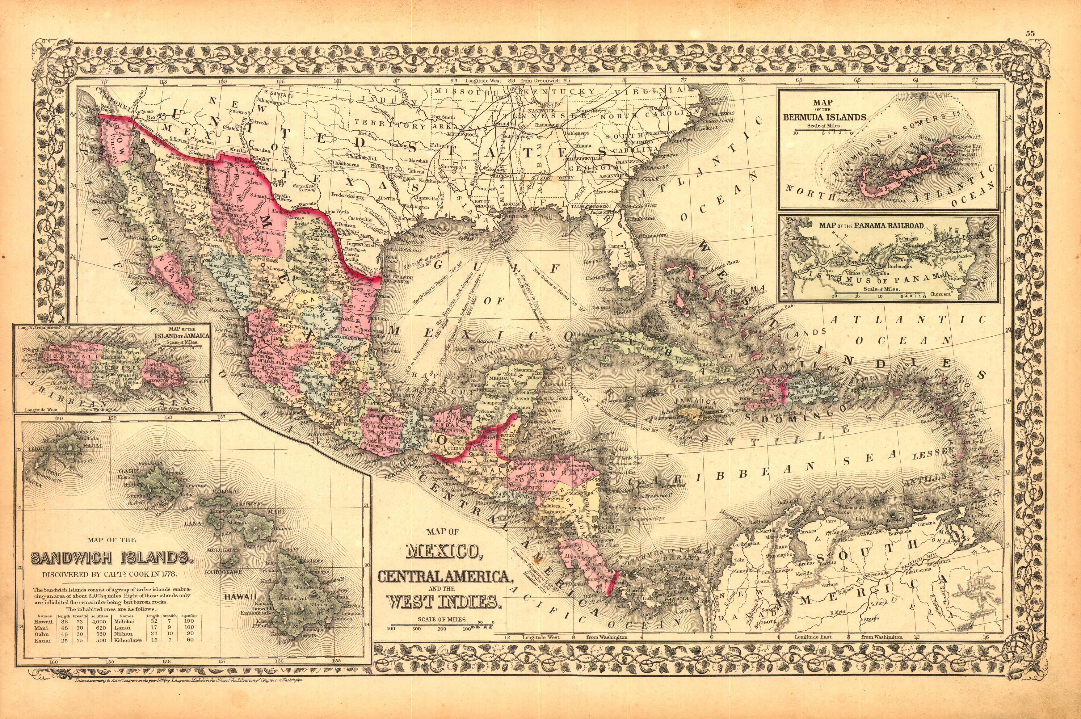
Map of Mexico, Central America and the West Indies
In stock
This map was produced by S. Augustus Mitchell in 1874 for his New General Atlas. This map shows Mitchells traditional grape vine border, characteristic pastel coloring and abundant details of geographical features. A beautiful map of Mexico, Central America and the West Indies. Four inset maps are included, illustrating the Bermuda Islands, the Panama Railroad, the Sandwich Islands, Hawaii and Jamaica. Regions, cities, topographical features, surrounding smaller islands, and railroads are illustrated.
Size: 21.5 x 13.5 inches
Condition: Very Good
Map Maker: S. Augustus Mitchell
Coloring: Hand Color
Year: 1874
Condition: Very Good
Map Maker: S. Augustus Mitchell
Coloring: Hand Color
Year: 1874
In stock


