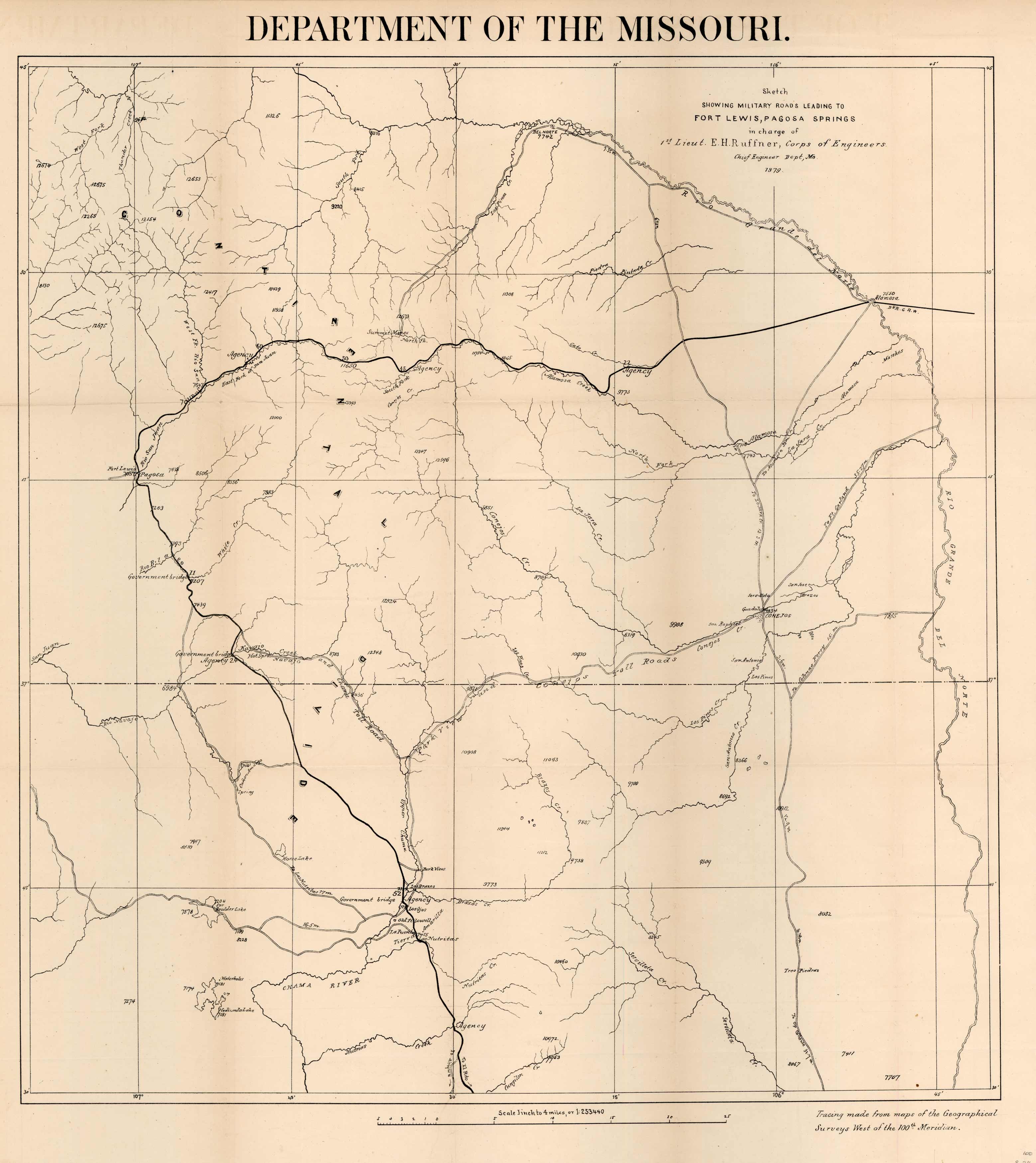
Department of the Missouri. Sketch Showing the Military Roads Leading to Fort Lewis, Pagosa Springs
In stock
Very rare and detailed military roads map of the San Luis Valley area and Northern New Mexico. This map shows the Route of travel by Lieutenant Ruffner on the trail from Alamosa, Colordo to Pagosa Srings and then down to Chama, New Mexico and South to Amaritta, New Mexico. The route continues with an arrow toward El Rito, New Mexico.. The map shows the the Conejos Toll Road and the Navajo and Chama Toll Road. A weatlh of information showing numerous Indian Agencies, springs, hot springs, and Government bridges. Included is the one page transmittal that appeared in the Engineers Report of 1879. Evidently they were trying to get water samples from the springs in the Pagosa Springs are. I found one that intrigued me. “Having been exposed to low temperatures, as great as -20 to -30 degrees, 90 percent of the samples were ruined by freezing and breakage”. A very rare map. Rice paper backed for preservation.
Condition: Good - achival rice paper backed
Map Maker: E.H. Ruffner
Coloring: Black and White
Year: 1879
In stock


