South Carolina
In stock
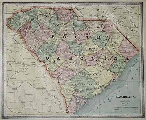
George F. Cram produced this map for Crams Unrivaled Family Atlas of the World, published in 1885. This map of South Carolina illustrates counties, cities, towns, rail roads and topographical features. Great detailing, with nice pastel coloring.
Size: 12 x 9 inches
Condition: Very Good
Map Maker: George F. Cram
Coloring: Machine Coloring
Year: 1885
Condition: Very Good
Map Maker: George F. Cram
Coloring: Machine Coloring
Year: 1885
In stock


