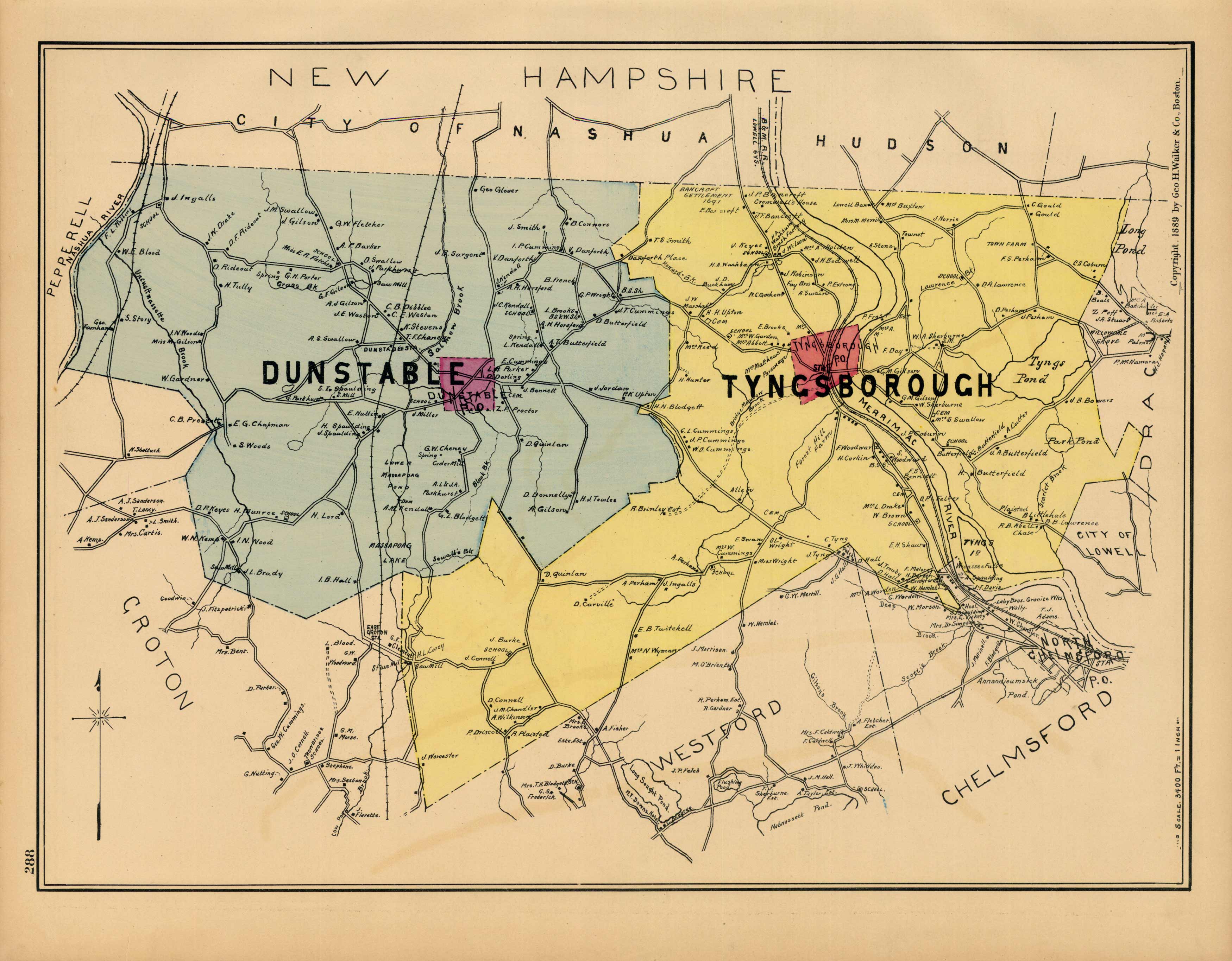
Dunstable and Tyngsborough
In stock
This map was issued in 1889 by George H. Walker and Company as part of the very rare “Atlas of Middlesex County, Massachusetts”. This map shows landowners, public buildings, railroads, and a wealth of other wonderful information from this very special time in the colorful history of Massachusetts. These are the first maps from this atlas we have seen in over 25 years in the antique map business.
Size: 16 x 12 inches
Condition: Very good
Map Maker: George H. Walker
Coloring: Original hand-colored steel engraving
Year: 1889
Condition: Very good
Map Maker: George H. Walker
Coloring: Original hand-colored steel engraving
Year: 1889
In stock


