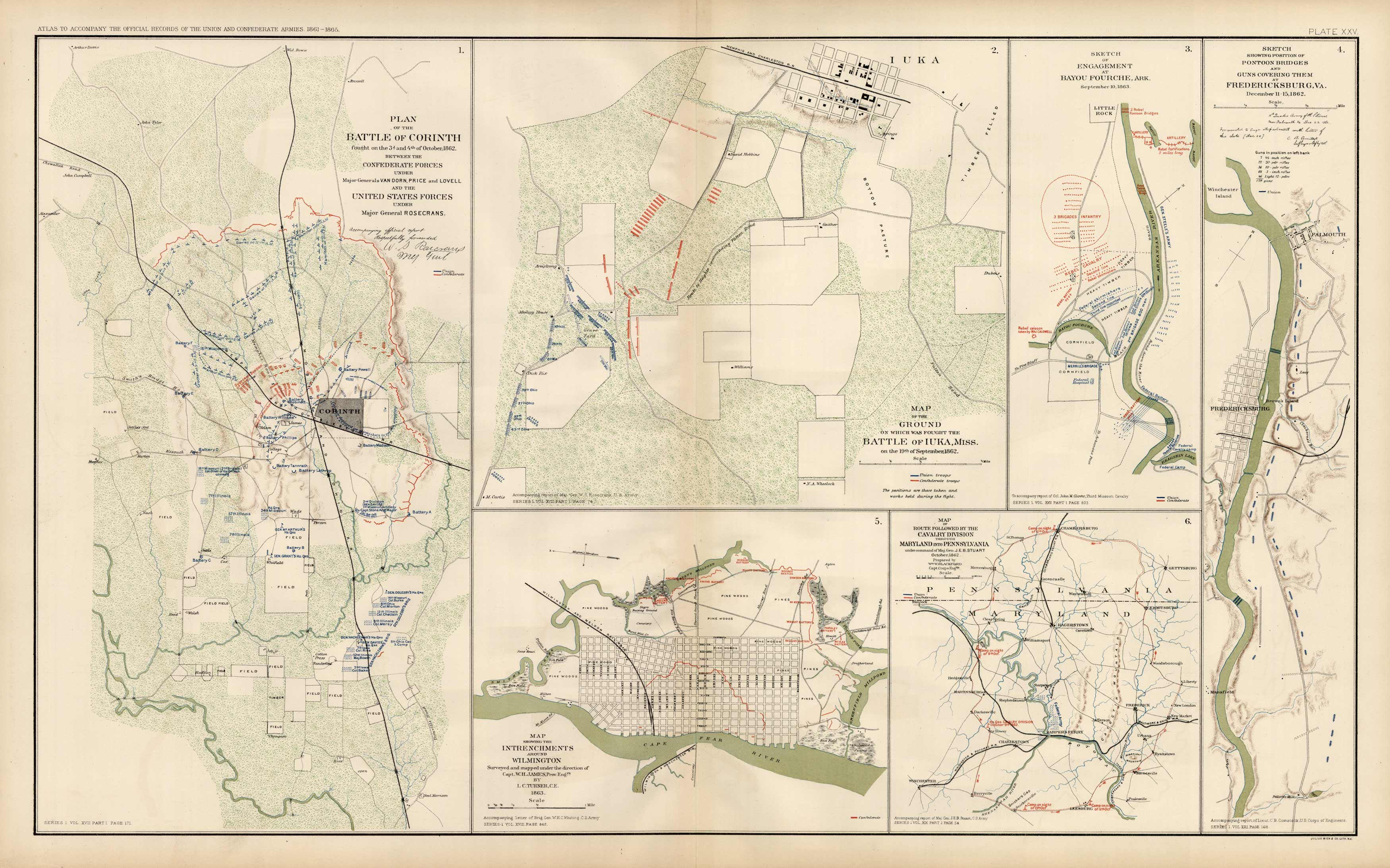
Civil War Atlas; Plate 25; Maps of Battles of Corinth, Iuka, Miss., and Bayou Fourche, Ark.
In stock
This plate came from The Atlas to Accompany theOfficial Records of the Union and Confederate Armies. TheAtlas was published between 1891 and 1895 and is thedefinitive source of Civil War information. This Plate contains the following map(s).Plate XXV1. Plan of the Battle of Corinth2. Map of the Battle of Iuka, Miss.3. Sketch of the Engagement at Bayou-Fourche, Ark.4. Sketch Showing Position of Pontoon Bridges and Guns Covering them at Fredericksburg, Va.5. Map showing the Intrenchments around Wilmington6. Map of the Route Followed by the Cavalry Divisions through Maryland and Virginia
Size: 27 x 16.5 inches
Condition: Very Good
Map Maker: U.S. War Records Office
Coloring: Lithograph Color
Year: 1892
Condition: Very Good
Map Maker: U.S. War Records Office
Coloring: Lithograph Color
Year: 1892
In stock


