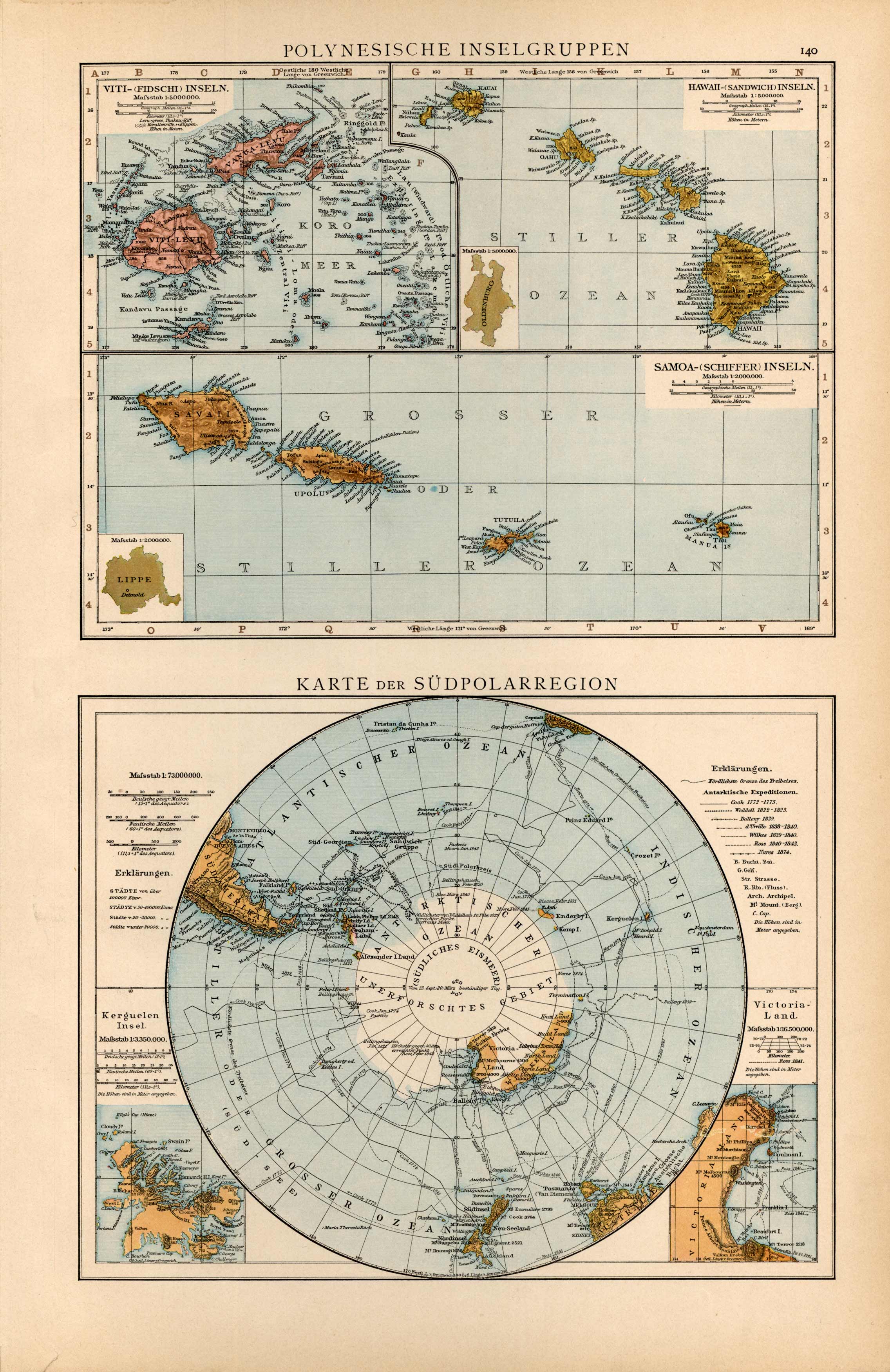
Polynesische inselgruppen / Karte der Suedpolarregion (Polynesian Island Group / Map of the South Pole Region)
Out of stock
This map by Dr. Richard Andree (1835-1912), for his General Hand Atlas, is a wonderful example of the fine German engraving work. The detail noting even the smallest of villages is extraordinary.
Size: 11 x 16.5 inches
Condition: Excellent
Map Maker: Dr. Richard Andree
Coloring: Printed Color
Year: 1893
Condition: Excellent
Map Maker: Dr. Richard Andree
Coloring: Printed Color
Year: 1893
Out of stock


