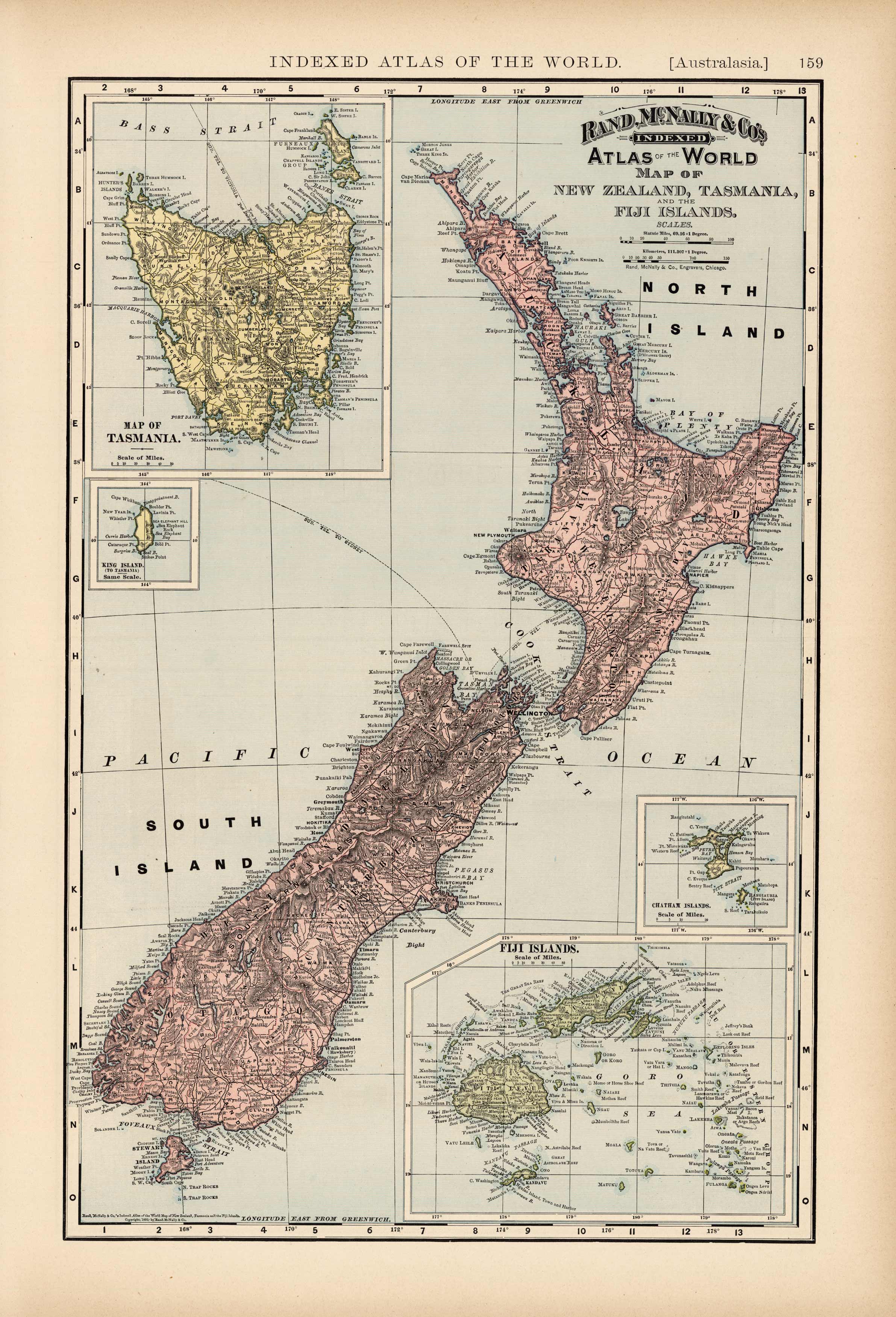
Map of New Zealand, Tasmania and the Fiji Islands
Out of stock
This map was made by Rand McNally & Co for its Indexed Atlas of the World, published in 1894. Machine coloring, detailed placed names and four inset maps are among the features of this unique and rare map of New Zealand, Tasmania and the Fiji Islands. The inset maps include Tasmania, King Island, Chatham Islands and the Fiji Islands.
Size: 12 x 19 inches
Condition: Very Good
Map Maker: Rand McNally & Co
Coloring: Printed color
Year: 1894
Condition: Very Good
Map Maker: Rand McNally & Co
Coloring: Printed color
Year: 1894
Out of stock


