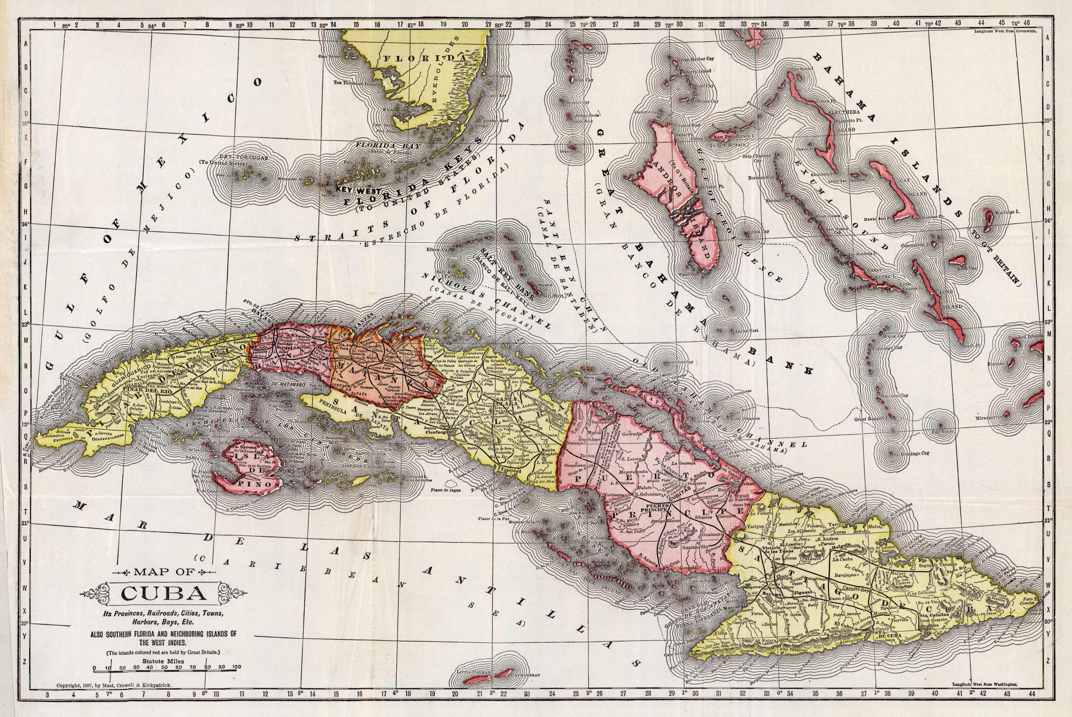
Map of Cuba. Its Provinces, Railroads, Cities, Towns, Harbors, Bays, etc. Also Southern Florida and Neighboring Islands of the West Indies.
Out of stock
This unique map of Cuba was created by Mast, Crowell and Kirkpatrick in 1897. This map shows the different provinces in bright colors, railroads, cities, towns, harbors, and bays. It also highlights nearby Florida Keys and Bahama Islands.
Size: 18.75 x 12.5 inches
Condition: Very Good, slight discoloration on lefthand border and some folds
Map Maker: Mast, Crowell & Kirkpatrick
Coloring: Printed Color
Year: 1897
Condition: Very Good, slight discoloration on lefthand border and some folds
Map Maker: Mast, Crowell & Kirkpatrick
Coloring: Printed Color
Year: 1897
Out of stock


