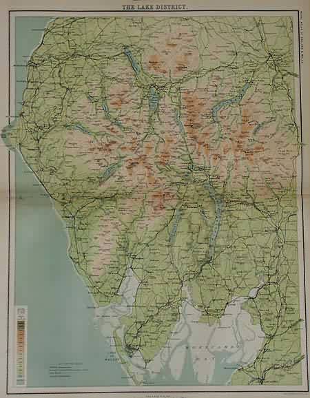
The Lake District
Out of stock
These extraordinarily detailed maps came from The Royal Atlas of England and Wales, Reduced from an Ordnance Survey: a complete series of topographical maps, physical and statistical charts, town plans and index of 35,000 names. These maps were published in 1898, offering an interesting illustration of how the regions, towns and cities of England and Wales were once laid out, in addition to how they may have changed in the last 100 years.
Size: 16.5 x 12.5 inches
Condition: Very Good
Map Maker: J.G Bartholomew, F.R.G.S
Coloring: Machine Coloring
Year: 1898
Condition: Very Good
Map Maker: J.G Bartholomew, F.R.G.S
Coloring: Machine Coloring
Year: 1898
Out of stock


